Autumn – The Best Time to Visit Oregon’s Desert?

Greg Burke   Website

Spring, summer and winter are all strong contenders, but there’s mounting evidence that autumn could be the very best season to visit Oregon’s high desert.

Consider …

  • Temperature – Daytime highs are in the 70s, not the dripping-brow 90s and nighttime lows are in the lovely-for- sleeping 30s, not the teens.
  • Color – Yes, the aspen. Of course, the aspen. But also the chartreuse of rabbitbrush coming into bloom, the rusty red-osier dogwood and willow stems along river banks and the lime green lichen on the basalt outcroppings.
  • Scent – Bitterbrush and sagebrush baked all summer long are especially heady after a fall rain.
  • Migrations – With tens of thousands of birds making their way south and mule deer and pronghorn moving into their winter habitat, you’re more than likely going to catch sight of desert wildlife.

Pack up your essentials, an extra blanket, a good book and your keen observation skills, because these three adventures will put you right into the heart of a high desert autumn.
voices

John Cunningham, ONDA member and volunteer

John Cunningham, ONDA member and volunteer

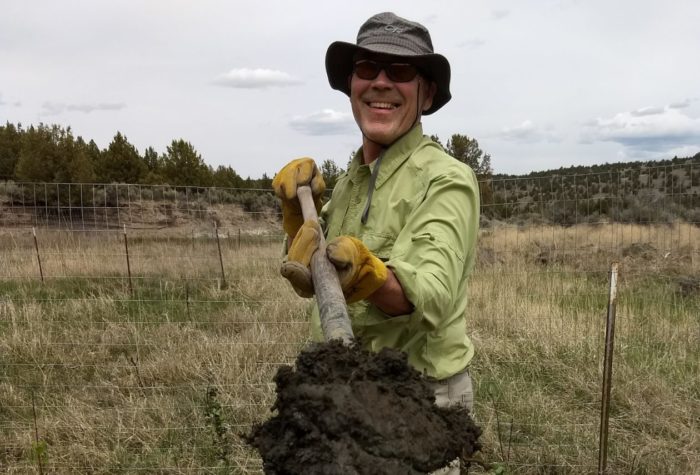
Restoration is hard slow work. It takes hold, or it doesn’t, in fits and starts. The immensity of the need can be discouraging, but we must carry on. I am so thankful ONDA carries on.

voices

Michelle Frisella, member since 2017

Michelle Frisella, member since 2017

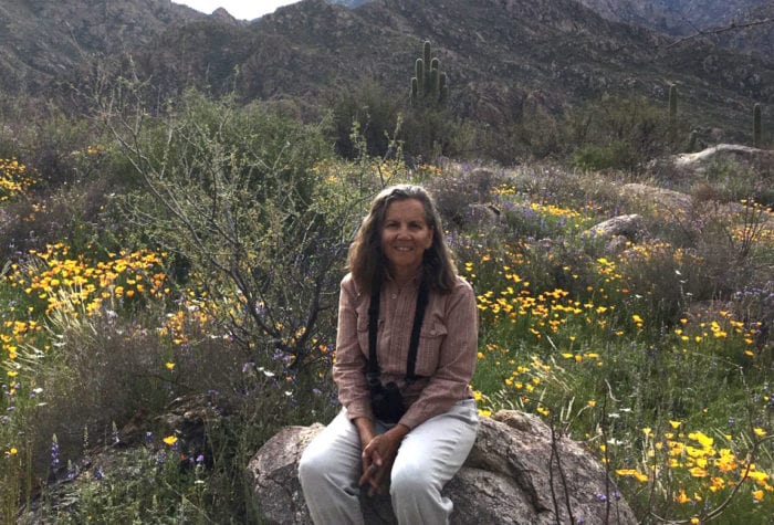
So proud of ONDA and its members and volunteers. Such hard work gets done. To use an overused word, this is patriotism!

listen

Greater Sage Grouse and Sparrows at Hart Mountain

Greater Sage Grouse and Sparrows at Hart Mountain

Cottonwood Canyon State Park

Enjoy 8,000 acres more or less to yourself

Jessica Brothers

Savor solitude and scenery along the John Day River

Rugged and vast, Cottonwood Canyon State Park holds vertical cliffs carved by the John Day River, deep canyons and arid, rocky grasslands that extend for miles in all directions. With 8,000-plus acres open for exploration in the park and another 10,000 acres of BLM-managed public lands surrounding the park,
you’ll have no shortage of room to roam in this unique landscape.

For hiking, you can take the Pinnacles Trail or the Lost Corral Trail to follow either side of the John Day
River downstream. Each is 4.3 miles one way. Upstream, the Hard Stone Trail travels 1.5 miles one way and is open to foot traffic only. Or, you can strike out on your own and follow old, unmaintained ranching roads that lead into the backcountry. The J.S. Burres day-use area is a popular boat launch for rafts, kayaks, canoes and drift boats. For anglers, the John Day River has steelhead, catfish, carp and smallmouth bass.

Be sure to carry plenty of water as potable water is available only at the developed day-use area and in the
campground. Note that the park doesn’t have cell phone coverage anywhere.

DRIVING DIRECTIONS The park is located on Highway 206 between Condon and Wasco. Coming from Portland, the park is about 25 miles southeast of Biggs Junction, where you exit Interstate 84. From Highway 97 north or southbound, turn onto Highway 206 at Wasco and drive for 15 miles to the park entrance. You’ll see the main park entrance sign from the highway.

Big Indian Gorge

Cooler temps and stunning fall color make this hike in the Steens Mountain region an excellent choice for autumn

Barb Rumer

Enjoy aspen and waterfalls in the Steens

To travel into the heart of the Steens Mountain Wilderness, take the Big Indian Gorge Trail to the headwall of the gorge, passing through meadows as well as cottonwood and aspen groves.

It’s easy to follow for the first 7 miles and then it fades away and becomes a cross-country hike. There are three stream crossings along the way, which can be difficult or impassable at times during spring and early summer, but should be easily crossed in fall. The U-shaped gorges, carved by glaciers, are sure to amaze, as will the waterfalls. A number of primitive campsites exist along the way.

For those hikers interested in turning the round-trip hike into a one-way trip with a shuttle on the far end,
plan for a climb out of the gorge to the Steens Loop Road and to add two miles, for a ten-mile one-way
trip. From South Steens Campground hike up the gorge until the trail starts to disappear. The drainage on
the north side of Big Indian Gorge is your exit, and is a steep 2,000’ cross-country hike up and out of the
canyon. There are intermittent traces of a trail, and you may find yourself crossing back and forth over the
seasonal creek on your climb out.

DRIVING DIRECTIONS From Burns, take State Highway 78 southeast for approximately 2 miles. Turn right onto State Highway 205 and travel south for 60 miles to Frenchglen. Travel approximately 9 miles, then turn left on the Steens Mountain Loop Road south entrance. The trailhead is found in the South Steens Campground, which is just over 18 miles from State Highway 205.

Hot Springs Campground

Combine birding with hot spring soaking and this spacious campground in the Hart Mountain National Antelope Refuge

Mark Darnell   Website

Soak up the silence

As the name implies, you’ll find a great soaking at the Hot Springs Campground located in the Hart Mountain National Antelope Refuge. Soakers can choose between two hot springs – the protected comfort of a 6-foot deep pool surrounded by wind-blocking stone walls, or a primitive pool hidden off a closed road on the backside of the parking area.

In a short stroll from this 29-site campground, you’re likely to see many birds, including Northern Harriers, Bullock’s Orioles, Yellow Warblers and Greater Sage-Grouse. Cold Creek and Bond Creek flow in from the south and southeast respectively, joining forces to create Rock Creek. Each of these riparian corridors forms long arms that extend out from the center of the basin and abound with designated campsites and hiking opportunities.

Autumn is a particularly pleasant time to visit, as the aspen trees that fill Hart Mountain’s numerous draws
and basins turn fiery red, orange and yellow, accenting the already dramatic topography of the fault block
mountain’s eastern flank. At 5,600 feet in elevation, this time of year brings the possibility of snowfall,
creating stark contrasts between the red rocks, green lichens and golden foliage.

DRIVING DIRECTIONS From the Hart Mountain National Antelope Refuge headquarters, head south
following signs for the Hot Springs Campground. About a mile down the well-graded gravel road, the
road splits. Stay right, following signs for the Hot Springs Campground, which is roughly 4 miles south of
headquarters.