-
Distance
3 miles round-trip (6 mile round-trip option)
-
Best Times To Visit
April to November (road closed Dec 1-Mar 31)
-
Dificulty
3
-
Closest Town
Sisters, Oregon
-
Drive Time
1 hour from Bend, Oregon
Description
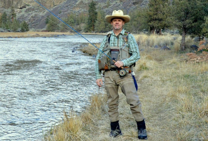
Located on Lower Whychus Creek, Alder Springs is an oasis in the high desert. The trail starts at the top of the Whychus Creek Canyon, where you’ll enjoy wide open panoramic views of the Cascades, towering rock formations, and the rushing waters of Whychus Creek below and descends gradually through grasses and rabbitbrush to reach the creek. At 1.5 miles, hikers reach Alder Springs, which is so large that many people mistake it for Whychus Creek itself. Though you can’t see it through the dense vegetation, cool water is gushing out of the hillside here at a constant flow of 60 cubic feet per second. Once you’ve reached the confluence of Alder Springs and Whychus Creek, you have the option of returning to the trailhead the way you came.
For an additional challenge (difficulty level 4):
Ford the creek and continue on the sandy trail to the spectacular canyon where Whychus Creek and the Deschutes River come together. The maintained trail ends at the Deschutes, so after reaching a stately rock outcropping and enjoying the cool shade of several towering Ponderosas and the deafening roar of the river, return the way you came for a round-trip hike of just over 6 miles.
Notes and Advice:
- Designed for hiking only, activities such as mountain biking, horseback riding, and the use of motorized vehicles are not allowed in this sensitive area. Hikers must stay on the main trail to avoid furthering erosion or damaging sensitive vegetation along the creek.
- There are no bathrooms or water available at the trailhead.
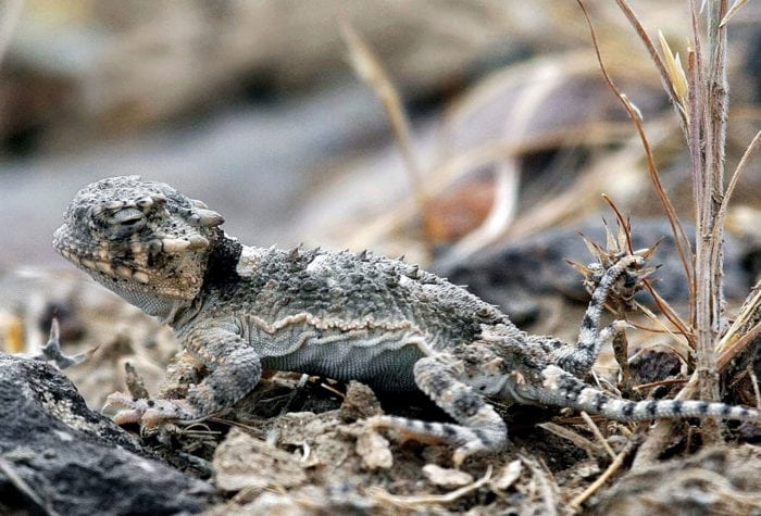
- Watch out for rattlesnakes during the warm season.
- The full round-trip hike to the Deschutes River requires fording (also known as wading) across Whychus Creek just below Alder Springs. Many people bring water shoes/sandals or old tennis shoes for the crossing, and use trekking poles for extra stability. Depending on creek flows, water levels can range from below knee-deep on an average height adult to thigh-deep or higher. You can check recent flows at this site (watch out for big spikes that indicate high flows), and read these tips for safe stream crossings. When in doubt, make it a short hike and return to the trailhead if it looks unsafe to cross the creek.
Driving Directions
From Bend, head west on Highway 20. After 13 miles, turn right on Fryrear Road. At the intersection with Highway 126, go straight to continue on Holmes Rd. After 1.5 miles, take a right to stay on Holmes Rd. At milepost 7, take a left on NF 6360. Go past the kiosk and up the hill. After about 5 miles on the gravel road, turn right at the sign for Alder Springs Trailhead.