Subscribe to Our E-News
Lindsay Jones
voices
Ryan “Dirtmonger” Sylva, ODT thru-hiker 2017
Ryan “Dirtmonger” Sylva, ODT thru-hiker 2017
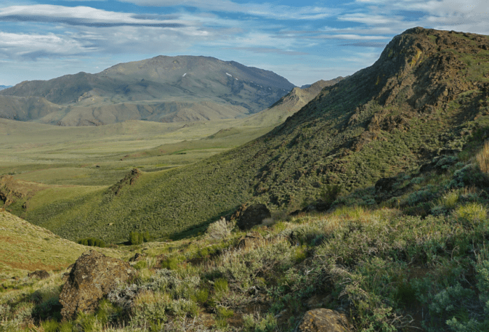
“To me, it’s a thru-hike in an isolated place that promotes a conversation in land management, ethics and usage. Hiking across a vast and remote landscape and having a random and chance encounter with cowboys and hunters to discuss how ‘all of us’ should treat the land, how we all have a responsibility, no matter our political leanings, really showed me the pulse of the people in rural areas, especially here out west.”
voices
Taylor Goforth, Sage Sustainers member

Taylor Goforth, Sage Sustainers member
“I support ONDA on a monthly basis as a way I can keep in touch with the root of my conservation ethic and allow for their strong advocacy work to keep going. I count on them!”
fact
Western Rattlesnake
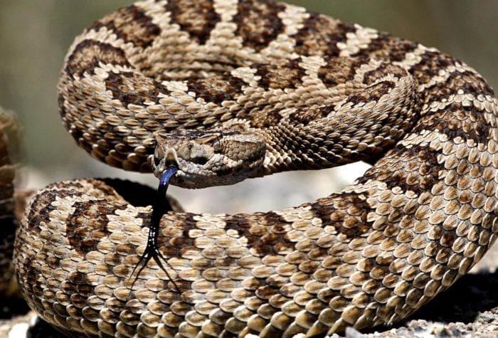
Western Rattlesnake
Also known as the Great Basin Rattlesnake, these pit vipers have buff-tan coloring and small, oval blotches to blend into their arid surroundings. Small heat-sensing indentations on each side of the snake’s snout detects warm-blooded prey for better striking accuracy in the dark. Source: The Oregon Encyclopedia
Latin name: Crotalus oreganus lutosus
Email Signup
Enjoy Oregon’s high desert delivered straight to your inbox.
Sample issues:
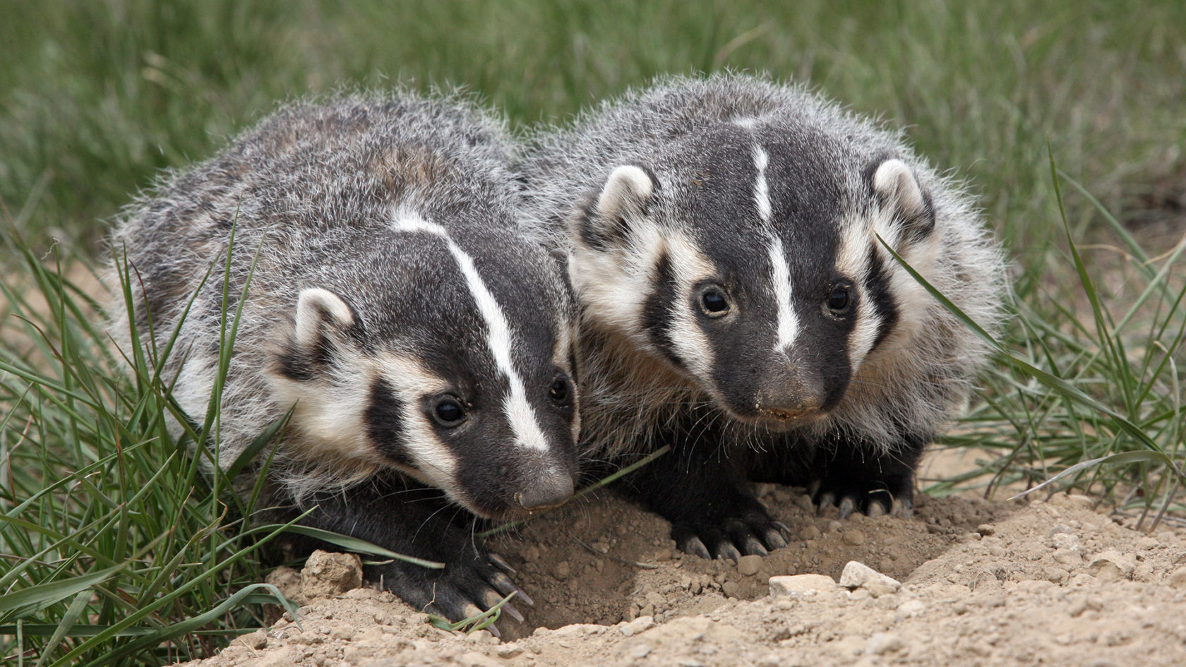
And, we promise we won’t badger you.