Update your ZIP code
voices
Durlin Hicock, Alice Elshoff Award winner
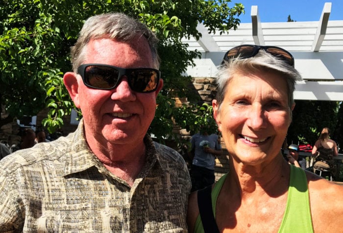
Durlin Hicock, Alice Elshoff Award winner
“Protecting public land is part of my spiritual being. It’s central to my identity to be in wilderness and to see it protected.” Durlin is proud to protect public lands for future generations, saying, “The highlight of my childhood was our family’s weekend outdoor trips. I look forward to my grandchildren having similar experiences outside in their lifetimes, and it wouldn’t be possible without ONDA.”
voices
Elisa Cheng, member since 2013
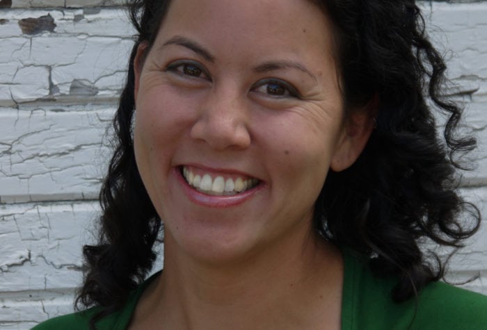
Elisa Cheng, member since 2013
“ONDA stewardship trips inspire me. I get to learn new things and see new places, and in the process perform important work that improves the wildlife habitat.”
voices
Michelle Frisella, member since 2017
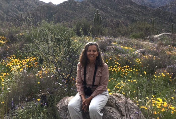
Michelle Frisella, member since 2017
So proud of ONDA and its members and volunteers. Such hard work gets done. To use an overused word, this is patriotism!
Email Signup
