Author: William Sullivan | Published: May 27, 2022 | Category: Where-To
For people of all physical abilities looking to explore new trails on the dry side of the Cascades, these ten trails will take you into a variety of different environments. Each of these paved, graveled, or hard-packed paths is accessible to those with a stroller, walker or wheelchair and all have accessible restrooms nearby.
For additional resources, including trail ratings and guides to areas across the Pacific Northwest, check out Disabled Hikers. Additionally, Travel Oregon has compiled accessible travel ideas and an outdoor recreation guide focusing on specific regions, including the Alvord Desert, available in both English and Spanish.
Columbia Gorge Discovery Center. Paved paths loop 0.2 mile behind this museum and extend 3 miles east along the Columbia River almost to The Dalles’ downtown, passing ponds along the way. Drive Interstate 84 to exit 84 and follow museum signs.
Cottonwood Canyon State Park. Start at the picnic area of this park on the lower John Day River to tour the Murtha Ranch’s restored barn, windmill, and corral.
Story in Stone Trail. This 0.3-mile loop tours the colorful badlands of the John Day Fossil Beds National Monument. Half of the loop is paved. Drive to the Blue Basin area of the monument and continue north on Highway 19 about 3 miles. Near milepost 118, turn into a trailhead and picnic area.
Lava Lands Visitor Center. Two paved, interpretive loops start from the back patio of this interpretive center, 8 miles south of Bend on Highway 97. The Trail of the Molten Lands loops 0.8 mile across lava, steeply in places. The easier, 0.3-mile Trail of the Whispering Pines skirts a lava flow edge. Parking fee required.
Rim Rock Springs. This paved half-mile trail has interpretive signs and a birdviewing platform. The trailhead is beside Highway 26 southeast of Madras 10 miles (or northwest of Prineville 19 miles).
Oregon Trail Interpretive Center. At this world-class museum near Baker City, a 0-5 mile paved loop circles the building, and a more challenging 1.5-mile paved path descends to a bench by the Oregon Trail’s actual route. Interpretive Center temporarily closed as of 10.7.21.
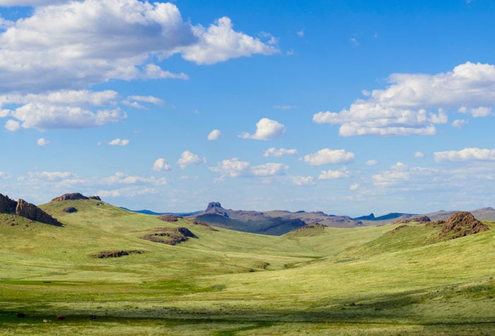
Granny View Overlook. Incredible views of the vast Imnaha River canyon open up at each turn on this 0.3-mile loop. Along the wide gravel path, expect dense alpine wildflowers in June and July, including paintbrush, penstemon, larkspur, and balsamroot. All-accessible restroom. Drive as to Hat Point but only drive 17.4 miles up the steep gravel road from Imnaha.
Hat Point. Perched on the edge of Hells Canyon, a paved 0.3-mile path loops through a picnic area to a viewpoint. A separate 0.1-mile paved path spirals up to the base of the Hat Point fire lookout tower itself.
OC&E Woods Line State Trail. The OC&E Woods Line State Trail is paved for 0.6 mile from Klamath Falls’ East Main Street to Washburn Way, and then for another 3.3 miles from Washburn Way in Klamath Falls to Highway 39. The route features a historic 1898 railroad bridge and nice trailheads.
Link River in Klamath Falls. The Link River Trail is blocked by turnstiles at either end, but the gravel Wingwatchers’ Trail is passable for wheelchairs from Main Street for 0.4 mile to the cattail slough.
For more information about any of these barrier-free trails, check William L. Sullivan’s book, “100 Hikes/Travel Guide: Eastern Oregon” at a bookstore, on Amazon, or at oregonhiking.com.