Virtual Gallery Exhibit
Shannon Phifer Website
voices
Scott Bowler, ONDA member from Portland
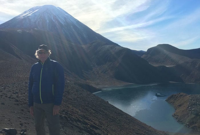
Scott Bowler, ONDA member from Portland
“The desert speaks for itself, but very softly. I support ONDA to promote and enable discovery of the amazing beauty and recreational opportunities of the high desert by much broader groups of people; and most especially to protect forever the full and diverse landscape of the Owyhee Canyonlands, a place without parallel or equal in our country.”
voices
Michelle Frisella, member since 2017
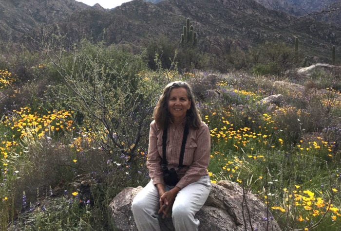
Michelle Frisella, member since 2017
So proud of ONDA and its members and volunteers. Such hard work gets done. To use an overused word, this is patriotism!
voices
Terry Butler, 2018 Volunteer of the Year
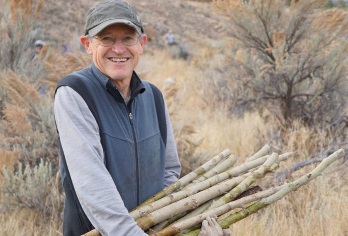
Terry Butler, 2018 Volunteer of the Year
“If I have to pick a favorite place in Oregon’s high desert, it would be Sutton Mountain, but I’m excited about all of the Wilderness Study Areas,” says Terry, adding, “Each is a gem to explore, and I hope they all get protection someday… I love the scale of the physical beauty of the desert.”
Join, Renew, or Give a Gift
Read MorePurchase Your Wild Desert Calendar
ONDA’s Wild Desert Calendar showcases the breathtaking beauty of Oregon’s high desert through a collection of stunning images generously donated by talented photographers. In addition to captivating landscapes, the calendar […]
Read More