Badlands Wilderness Recreation Monitoring
Greg Burke Website
Organizer: Stewardship Team
Project Timeline: 1/01/2024 through 12/31/2024
Region: Central Oregon Backcountry
Difficulty Rating: Level 1-3 depending on what trail you choose, how far you go and what season you go out in
Volunteers Needed: No limit
About the place
ONDA’s conservation work takes place on the traditional lands of the Northern Paiute, Wasco, Warm Springs, Bannock and Shoshone people, as well as ceded lands of the Confederated Tribes of the Umatilla Indian Reservation, and on lands currently managed by the Burns Paiute Tribe and the Confederated Tribes of Warm Springs. Many Indigenous peoples live in Oregon’s high desert region today, including members of the Burns Paiute Tribe, the Confederated Tribes of Warm Springs (Wasco, Warm Springs and Paiute), the Klamath Tribes (Klamath, Modoc and Yahooskin) and the Fort McDermitt Paiute and Shoshone Tribe.
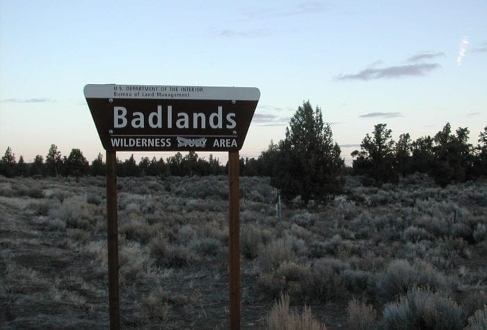
Located just 15 miles east of Bend, the Oregon Badlands Wilderness is a 30,000-acre area containing fascinating lava flows and ancient junipers. This area was designated as wilderness in 2009, and was named for its harsh terrain and fantastic rock formations. Within this landscape, one can find incredible displays of desert wildflowers, dry river canyons, castle-like rock formations, and Native American pictographs.
About the project
The Badlands has increased in popularity over the past few years as more and more people discover the restorative nature of walking in this wilderness area, so close to the population center of Bend.
Your work on this project will help ONDA and the BLM collect important information on visitor use, conditions of signage, camping impacts, vehicle trespass and more, and help to expand the capacity of the Prineville Bureau of Land Management to monitor and respond to use issues in a timely manner.
This project is funded by a Deschutes Trails Coalition Stewardship Grant. 
This is a recreation impact monitoring and maintenance project
- Included in the monitoring and maintenance project:
- Use the RIMS (Recreation Monitoring Impact System) app on your smartphone to identify and record information on visitor use, trail and signage conditions, campsites and fire ring locations and more.
- Pick up trash.
- Brush out vehicle (bike or car) trespass tracks – after documenting the impacts.
- Remove, disperse, and camouflage identified campsite impacts and fire rings.
Timing
This project will involve multiple volunteers during the year. The Badlands Wilderness is accessible year-round. You can visit the area any time during the year, and make as many visits as you like. We ask volunteers who sign up for this project to make at least one monitoring trip in 2024 for a minimum of four hours.
Difficulty
This trip will require hiking and moderate physical work, but because the project is self-directed you can hike/monitor as your body and time allows.
Registration
An ONDA registration application and medical form are required for this project.
Project Details
All the information you will need to know about this independent project will be emailed to you after your registration is complete. Each project page has extensive information about access, technology, tools, maps and more. Please be prepared to spend 1-2 hours reviewing this information prior to heading out on your project, the good news is that time spent reviewing and preparing for your trip all counts towards your volunteer hours.


