Discover Oregon’s Desert

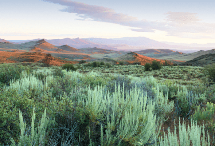
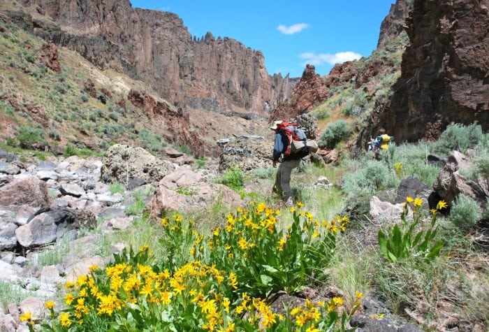
Did you know that nearly half of Oregon is high desert? At Oregon Natural Desert Association, we invite people to get to know this incredible region and get involved in conservation and stewardship of desert lands, waters and wildlife.

Get to know Oregon’s high desert:


fact

What defines Oregon’s high desert?

What defines Oregon’s high desert?

Bounded by the Cascade Mountains to the west and the Blue Mountains to the north, Oregon’s high desert covers approximately 24,000 square miles. Annual rainfall in the high desert varies from 5 to 14 inches. The average elevation is 4,000 feet; at 9,733 feet, the summit of Steens Mountain is the highest point in Oregon’s high desert. The terrain of the high desert was mostly formed by a series of lava flows that occurred between 30 and 10 million years ago.

Sources: The Oregon Encyclopedia; Wikipedia  

listen

Cottonwood Canyon Riparian Soundscape

Cottonwood Canyon Riparian Soundscape

voices

Tim Neville, journalist

Tim Neville, journalist

“Oregon’s Owyhee reminds me a lot of Southern Utah’s red rock country… only dipped in fudge.”

Jim Davis   Website

Owyhee Canyonlands

An Oregon Treasure Located in the far southeast corner of the state, Oregon’s Owyhee Canyonlands is one of the largest conservation opportunities in the American West. Boasting more than 2.5 […]

Read More

Steve Roelof   Website

John Day River Basin

Home to Wild Waters The John Day River Basin, in northeastern Oregon, is ruggedly beautiful country featuring mountainous terrain, steep river canyons, and rich wildlife habitat. Absent of dams and […]

Read More

Steens Mountain Region

A secret revealed Though lesser-known, the alpine qualities of Steens Mountain rival Oregon’s Cascade peaks, with the summit sitting at 9,738 feet. Often mistaken for a chain of mountains, Steens […]

Read More

Jim Davis   Website

Greg Burke   Website