Malheur National Wildlife Refuge
Shey Hyatt
voices
Aaron Tani, Sage Society Member
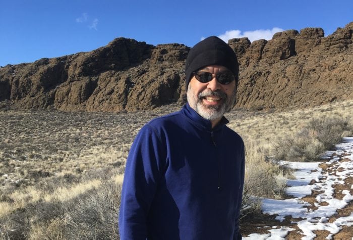
Aaron Tani, Sage Society Member
“It feels good to support ONDA on a monthly basis, because I know they never stop supporting our public lands. ONDA works to help make our lands a better place for the future, and I feel like I’m a part of that every month with my support.”
voices
Carl Axelsen, member since 1999
Carl Axelsen, member since 1999
You folks at ONDA really have your stuff together. Such a well-planned opportunity to comment, since figuring out how to connect with the gummint is off-putting. You make it work for me.
success
Oregon’s first desert wilderness
Oregon’s first desert wilderness
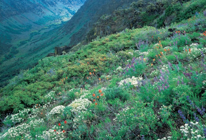
Steens Mountain: Oregon’s first desert wilderness
On October 30, 2000, Congress passed the Steens Mountain Cooperative Management and Protection Act, finishing the work that had taken ONDA and the other members of the Steens-Alvord Coalition decades
Steens Mountain is a land of startling contrasts: dramatic u-shaped
Read MoreGoal
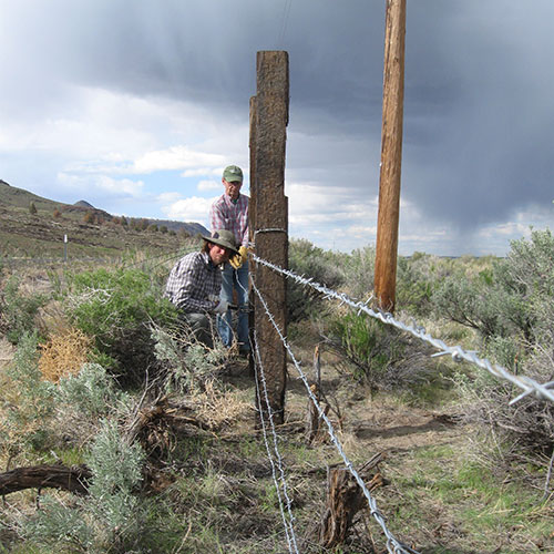
Improve habitat for wildlife by mapping the extent of fence within and bordering the refuge and removing or retrofitting all of the unnecessary fence that impedes safe passage for wildlife.
Timeline
Project Start Year: 1990s
Anticipated Completion: 2025 to 2030
Acreage
The refuge is 293 square miles, or 187,757 acres.

About this place
The refuge is home to 58 species of mammals including pronghorn and mule deer, over 320 bird species, 12 species of native fish, and several amphibian and reptile species.
Archaeological research shows that Native Americans have been using and inhabiting this area for over 11,000 years. The abundance of birds, animals, and plants found in the Harney Basin provided Native Americans with plenty of food and resources. Periods of drought and flood complicated life in this area, forcing inhabitants to move to higher ground when lake levels rose, and to search elsewhere for resources when wetlands contracted.
As recently as 400 years ago, the Northern Paiute lived in mat-covered shelters, known as wickiups, harvested tui chub from Harney Lake, and cached seed from wapato (Indian potato), bulrush and goosefoot.
The refuge was established in 1908 by President Theodore Roosevelt “as a preserve and breeding ground for native birds.”
In 2016, this normally quiet refuge was thrust into the national spotlight when the refuge headquaters became the site of a 41-day armed occupation.

Our efforts
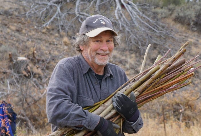
ONDA's first fence pull on the refuge occurred in 1998, and we've been steadily helping with various endeavors at the refuge ever since. We began undertaking juniper encroachment work in 2013, and our recent efforts include conducting bird surveys.
The habitat quality on the wildlife refuge, which has huge amounts of water and prohibitions on grazing and hunting, is incredibly rich. According to the refuge website, historic bird counts show that the refuge and the Silvies River floodplain north of the refuge may support anywhere between five and 66 percent of the Pacific Flyway’s migrating populations for priority waterfowl, as well as 58 species of mammals.
Unneeded barbed wire fences segment and reduce the quality of this important habitat, and ONDA removes these barriers to improve habitat for wildlife.
Project history
ONDA has been working on the refuge since the 90s. Here is a summary of the most recent projects on the refuge:
2013: Retrofitted barbed wire fence near P Ranch
2014: Retrofitted two miles of fence
2015: Removed two large barbed wire and sheep fence corrals NW of P Ranch
2016: Retrofitted two miles of fence
2017: Removed one mile of obsolete barbed wire fence near P Ranch and assisted with a cooperative project to remove carp and collect data from Malheur Lake
2018: Removed two miles of obsolete barbed wire fence near the Double O Ranch
2019: Mapped 10.5 miles of fence for future removal and retrofit and removed 1.7 miles of fence near P Ranch
2021: Mapped 82 miles of fence to assist the Refuge's effort to map all boundary fence lines and identify fence for future removal
Restoring Lands and Waters
Oregon Natural Desert Association sustains and enhances the health of Oregon’s high desert through stewardship and restoration. ONDA takes a holistic approach to conservation in Oregon’s high desert, pairing on-the-ground […]
Read More2024 Stewardship Trips
Ready to get out into the desert and give it some care? Oregon Natural Desert Association would love to see you on one of the dozens of stewardship trips and […]
Read More