Route Development
What arose as a wisp of an idea in 2010, soon became a dream for a new long-distance trail, and then that dream began to become reality in 2011. From 2011 to 2014, Oregon Desert Trail Coordinator Jeremy Fox kicked off the development by taking stock of the existing infrastructure that crossed the desert, using ONDA conservation successes and priorities across eastern Oregon as a guiding framework.
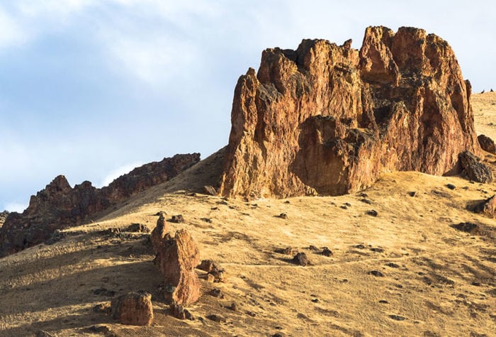
Several existing trail systems provided the backbone of the ODT including the Fremont National Recreation Trail, Steens Mountain Wilderness Trails, and Desert Trail. The trail took shape not as a straight line from one point of interest to another, but as a winding line through the scenic and remote landscapes of southeastern Oregon.
After thousands of hours of volunteer and staff work inventorying and ground-truthing the route, the Oregon Desert Trail emerged as an immersive desert experience that can be explored through cross-country travel, old roads, and existing trail.
2013: Sage Clegg became the first to complete the entire route, and through her weeks of hiking and biking across the high desert and detailed feedback, ONDA was able to further refine the trail and develop a map-set and guidebook.
2014: Trail materials were released to the public. Three hikers successfully completed the Oregon Desert Trail.
2015: One hiker completed the route using traditional navigation (map and compass only). ONDA hired a new Oregon Desert Trail Coordinator, Renee Patrick, who had just completed a successful Continental Divide Trail thru-hike. With over 10,000 miles hiked on long distance trails, Renee’s extensive outdoor experiences are helping her to further establish the Oregon Desert Trail as a premier desert backpacking experience.
2016: The number of completed thru-hikes doubled. Five new trail resources were released to the public, and ONDA built partnerships with community stakeholders and agency partners.
2017: ONDA built on previous successes by adding three more trail resources and revising all materials to include a guide to land designations and inventories along the route, along with suggested actions interested hikers can take to help conserve the high desert. More than 100 hikers experienced sections of the trail, 6 completed the route including the first two successful east-to-west thru-hikes, and 45 volunteers spent a combined 810 hours on trail-related projects.
2018: 10 hikers completed the entire route, including the inspiring UltraPedestrians who linked together the Oregon Desert Trail, Pacific Crest Trail, Pacific Northwest Trail and Idaho Centennial Trail in a 2,600 mile loop they dubbed the UpNorth Loop. 78 volunteers spent a combined 1,628 hours on trail-related projects.
2019: ONDA released updated maps and guidebook to include multi-sport options along the route, a skills rating to qualify the difficulty of navigation, water availability and terrain per section, and improved driving directions to each section start and end. 7 hikers completed the entire route, and 71 volunteers spent a combined 1,653 hours on trail-related projects.
2020: COVID-19 changed, well, everything and we suddenly found ourselves discouraging people from traveling through the small towns in eastern Oregon.
2021: Hikers were eager to hit the trail after the tumultuous 2020 happenings and 10 hikers finished the entire route.
2022: A cold and snowy spring caught many hikers by surprise along the route this year, but despite frosty tents and cold mornings, 11 people completed the route.
2023: The ODT continues to inspire and motivate hikers! 10 people completed the route this year.