Trout Creek Mountains Fenceline Group Monitoring Trip
Jim Davis Website
watch
Tibetan Monks Visit Sutton Mountain
Tibetan Monks Visit Sutton Mountain
voices
Aaron Tani, Sage Society Member
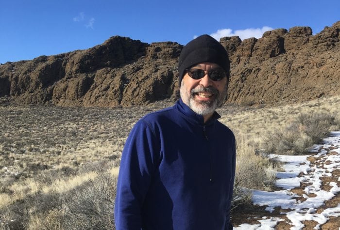
Aaron Tani, Sage Society Member
“It feels good to support ONDA on a monthly basis, because I know they never stop supporting our public lands. ONDA works to help make our lands a better place for the future, and I feel like I’m a part of that every month with my support.”
voices
Cregg Large, member since 2009
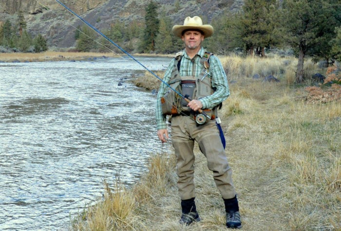
Cregg Large, member since 2009
“I came to Oregon 12 years ago from Texas. Texas, for all its size, has very little public land. Coming to Oregon has made me realize the special gift we as Americans have in our public lands. Volunteering with an organization like ONDA is my way of reciprocating for this gift. Through restoration efforts, I feel we are helping leave a better place than we found it. Through advocating for protection for public lands, we safeguard migration routes for animals and keep the land where it belongs: with the public.”
Organizer: Renee Patrick
Date and Time: June 10 – June 13, 2022
Place: Trout Creek Mountains
Difficulty Rating: Level 3: Challenging
Maximum Group Size: 15 participants
About the place
This project takes place on the traditional lands of the Northern Paiute and Shoshone people whose descendants are part of the Confederated Tribes of Warm Springs, Burns Paiute Tribe, Fort McDermitt Paiute and Shoshone Tribes, and the Shoshone-Paiute Tribes of the Duck Valley Indian Reservation. Many Indigenous peoples live in Oregon’s high desert region today, including members of the Burns Paiute Tribe, the Confederated Tribes of Warm Springs (Wasco, Warm Springs and Paiute), the Klamath Tribes (Klamath, Modoc and Yahooskin) and the Fort McDermitt Paiute and Shoshone Tribe.
The U.S. Fish and Wildlife Service has identified the Trout Creek Mountains as a Sagebrush Focal Area, one of just a handful of the most important sage-grouse habitats left on earth. Barbed wire fences present throughout the area pose risks to sage-grouse and other wildlife. Low flying sage grouse are known to become entangled in standing fence, while ungulates may be unable to cross the fence, limiting both their daily movement and seasonal migrations.
Monitoring will help ONDA plan wildlife friendly retrofits and fence line reflector tagging projects for sage-grouse and other animals in the future.
About the stewardship work
This project will start building ONDA’s database of the location and condition of fences in the Trout Creek Mountains. We will start monitoring at 8 a.m. and travel back to camp by 4 p.m. in order to leave time in the afternoon to clean-up, relax, and cook a well-deserved dinner. The monitoring each day will involve driving your vehicle to access different sections of fence in the area, day-hiking along identified fence lines, using your smart phone or device to take geolocated photos, and completing digital survey forms of fence conditions. Be prepared to hike between 2-6+ miles per day, often on uneven terrain.
Trip timeline
- Friday, June 10, 4-7 p.m.: Meet at a primitive camping site in the Trout Creek Mountains (high clearance 4WD vehicles only).
- Saturday, June 11, 8am: Volunteers will split up and drive to identified sections of fence and day-hike along the fence to take photos and record fence conditions. Volunteers should plan to be out all day and be prepared for a full day of hiking.
- Sunday, June 12: After breakfast we will continue monitoring and hiking along more sections of fence. Volunteers should plan to be out all day and be prepared for a full day of hiking.
- Monday, June 13: After breakfast we will head home.
Camp
We will be car camping on undeveloped public land. Please be prepared for primitive camping; you will need to bring your own water for the duration of the trip. ONDA will provide a pop-up toilet system.
Difficulty
The physical demands of this trip are moderate to challenging. Work involves driving on maintained and unmaintained roads and day hiking 2-6+ miles on uneven ground. Since we will be splitting up to monitor, everyone will be able to work at their own pace. Since this project involves driving on varying quality of roads, we suggest only signing up if you can drive a high-clearance 4WD vehicle to the project and for the duration of the work.
Participant responsibilities
Participants are responsible for their own food and water/beverages. Sturdy hiking boots and durable clothing are recommended. Each volunteer will need a smart-phone/tablet device capable of taking geolocated photos, and their own vehicle. Couples can plan on monitoring together, and if you plan to monitor together only one device will be needed between you. We recommend bringing a way to charge your device, both in your vehicle, and with an external power bank (Anker devices are a popular brand of power banks).
Gear provided
ONDA will provide the instruction, camping toilet and excellent guidance in the field.
Registration
An ONDA registration application and medical form are required for this trip.
Apply Now
You will receive a confirmation e-mail within two weeks of submitting your form. The confirmation e-mail will provide information regarding which trips you are on the “participant list” for, and which trips are full, and therefore you have been placed on the “wait list.”
Six weeks before the start of the trip, the trip leader will send out an RSVP to make sure everyone is still able to participate. Based on RSVPs, open spaces will be backfilled with people from the waitlist. Details on a zoom training session will be sent out at this time.
Three weeks before the trip start date, registered and confirmed participants will receive driving instructions, maps, and additional information in an email sent by the trip leader
If you have any questions in the meantime, please don’t hesitate to contact the trip leader.
This trip will be led by Renee Patrick. If you have questions, you can contact her at email renee@onda.org.
Restoring Desert Ecosystems
ONDA works with partners, communities and the public to improve habitat quality, create healthy ecosystems, sustain clean water and support biodiversity in the high desert’s most ecologically important areas. What […]
Read More