John Day Float and Fence Removal May 17-21
Sage Brown Website
Organizer: Jeremy Austin
Start Date: 5/17/2018
End Date: 5/21/2018
Region: John Day River Basin
Difficulty Rating: 3 out of 5
Maximum Group Size: 9 participants
About the place
The John Day River flows freely, absent of dams from its headwaters in the Strawberry Mountains 281 miles to the Columbia River. It is the second longest free flowing river in the continental United States and a must do float for many river rats.
On this trip, volunteers will float the lower John Day. It starts at the one house town of Clarno and ends near one of Oregon’s newest State Parks, Cottonwood Canyon. This entire stretch is protected as a Wild and Scenic River and contains three different wilderness study areas (WSA). Floating down this remote canyon country and camping under the basalt rimrock is an experience to remember.
About the stewardship work
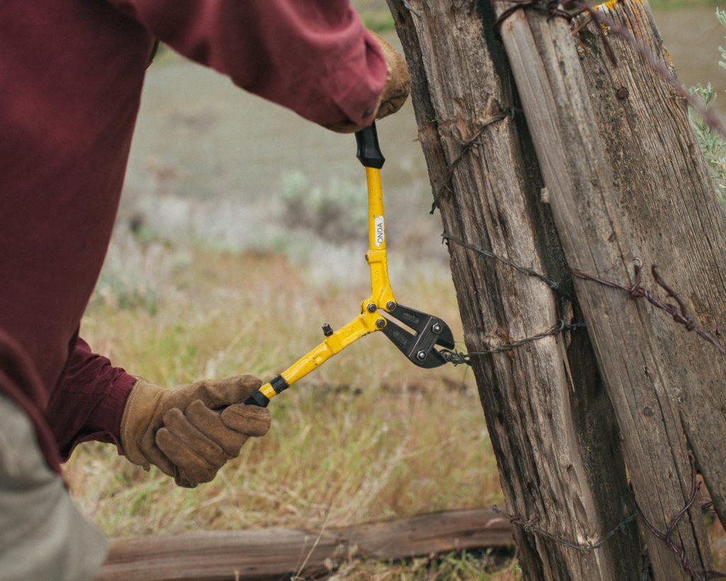
For the stewardship component of this trip, we will be partnering with the Bureau of Land Management (BLM) to remove obsolete barbed wire fence. The fence is located near our third campsite, where we will spend two nights, trading our paddles for fence pliers to conduct a day of fence pulling. In addition to the fence removal, volunteers will be opportunistically monitoring the conditions of campsites and wilderness characteristics along the way.
Trip timeline
- Thursday, May 17, 10 a.m: We will meet at the Clarno boat dock to load our personal gear into dry bags, help load the boats, and have a safety briefing. We will launch around noon and float for a few hours until we arrive at our first camp for the night.
- Friday, May 18: A full day of floating and enjoying the views from the boat. Depending on the flow level, we should arrive with plenty of time for an afternoon hike before settling into camp.
- Saturday, May 19: Our work day! Time to lace up the boots and take a short hike into the hills to remove about 1 mile of obsolete fencing.
- Sunday, May 20: Another day of floating and hikes from camp.
- Monday, May 21: A short float will take us to the end of our journey at Cottonwood Bridge. From here folks will help pack up and drive back home (our cars will be shuttled to the takeout).
Note: This schedule may change slightly due to wind, flows, and other unexpected changes.
Camp
We will be camping at designated campgrounds along the lower John Day River.
Difficulty
Participants can expect extended exposure to the elements (sun, rain, snow) and moderate physical activity while paddling or hiking. Side hikes to the canyon rims are strenuous over short periods of time.
Participant responsibilities
Participants are responsible for their own camping gear and day-hiking gear, as well as transportation to and from the trip. Sturdy off-trail ankle-high boots are highly recommended for this trip. To keep costs low, only one Ouzel Outfitters guide is coming along, so everyone will need to pitch in on cooking the food and cleaning up. Ouzel Outfitters requires participants to provide dietary and medical background information, and trip payments must be made in full when you receive official confirmation of your registration from the trip leader.
Participants will be responsible for the cost of the trip, $400 per person plus $75 per vehicle for the shuttle from Clarno to our takeout at Cottonwood (carpooling highly recommended). Price includes all meals and rafting gear.
Gear provided
Dry bags, personal flotation devices (PFDs), kitchen equipment, chairs, tables, firepans, toilet equipment, river games and library, paddle jackets (hoodless waterproof jacket for rafting), specialized gear for fence pull, trained guides to safely navigate the river.
Meals will be prepared, with the help of volunteers, starting with lunch on May 17 and ending with lunch on May 21. Water is available at all times as well as drink mixes. Coffee, juices and cocoa will be available at breakfast. For those who wish to bring personal beverage such as soda, beer, wine and spirits, some room will be provided in the coolers to keep them cold. Please use cans for beers/sodas and box/bags for wine to reduce the volume of trash and likelihood of broken glass.
Registration
An ONDA registration application and medical form are required for this trip.
Apply Now
You only need to fill this form out once per year and can join additional trips this year by emailing the trip leader directly. You will receive a confirmation email within 10 working days of submitting your form. The confirmation email will provide information regarding which trips you are on the “participant list” for, and which trips are full, and therefore you have been placed on the “waitlist.”
Six weeks before the start of the trip, the trip leader will send out an RSVP to make sure everyone is still able to participate. Based on RSVPs, open spaces will be backfilled with people from the waitlist.
Three weeks before the trip start date, registered and confirmed participants will receive driving instructions, maps, carpooling options, and additional information in an email sent by the trip leader
If you have any questions in the meantime, please don’t hesitate to contact the trip leader.
This trip will be led by Jeremy Austin. If you have questions, you can contact him at (541) 330-2638 or email jeremy@onda.org.
ONDA's Restoration Work
Over the last two decades, ONDA has engaged volunteers in projects to plant thousands of trees, restore dozens of miles of streams, decommission old roads and remove enough barbed wire […]
Read More
