Murderers Creek Riparian Monitoring
voices
Helen Harbin, ONDA Board Member
Helen Harbin, ONDA Board Member
“I connect with Oregon’s high desert through my feet, my eyes, my sense of smell, and all the things I hear. Getting out there is a whole body experience.” Supporting ONDA, Helen says, not only connects her with wild landscapes, but is also a good investment. “I felt like if I gave them $20, they might squeeze $23 out of it.”
voices
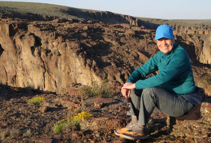
Jane Heisler, Sage Sustainers Member

Jane Heisler, Sage Sustainers Member
I love to travel and I love the desert! Supporting ONDA monthly allows me to hit the road without forgetting Oregon’s high desert—even when I’m not there.
voices
Taylor Goforth, Sage Sustainers member

Taylor Goforth, Sage Sustainers member
“I support ONDA on a monthly basis as a way I can keep in touch with the root of my conservation ethic and allow for their strong advocacy work to keep going. I count on them!”
Organizer: Stewardship Team
Project Timeline: 4/15/2023 through 10/31/2023
Region: Malheur National Forest
Difficulty Rating: Level 2: Moderate
Volunteers Needed: 4 volunteers
About the place
This project takes place on the traditional lands of the Burns Paiute Tribe and the Confederated Tribes of the Umatilla Indian Reservation (which consists of the Umatilla, Cayuse, and Walla Walla). This region was and remains an important fishing, hunting, and gathering area for the tribe. After being forced to leave their lands following the Bannock War, members of the Burns Paiute tribe returned and reestablished their community in the Harney Valley. The area is also part of the traditionally used lands for the Cayuse, who seasonally came to the area for fishing, hunting and gathering.
Murderers Creek is a tributary of the John Day River and is an important spawning ground for steelhead; the riparian areas provide excellent habitat for many birds.
About the project
Murderers Creek is in the upper John Day watershed on the west side of the forest. The focus of this project is to evaluate whether and how Forest Service-permitted livestock grazing is affecting stream and riparian habitat for native steelhead.
This is a photo monitoring project
This project will involve taking new photos and visiting previous photo point locations to take current photos of the riparian conditions along identified stretches of Murderers Creek and tributaries.
Timing
This project has about a seven-month window (approximately April – October), and sections of the creek will need to be monitored in the spring and again in the fall.
Difficulty
This trip will require hiking and access is mostly roadside.
Registration
An ONDA registration application and medical form are required for this project.
Project Details
All the information you will need to know about this independent project will be emailed to you after your registration is complete. Each project page has extensive information about access, technology, tools, maps and more. Please be prepared to spend 1-2 hours reviewing this information prior to heading out on your project, the good news is that time spent reviewing and preparing for your trip all counts towards your volunteer hours.