Finding water in the desert can be difficult, but it’s not impossible.
If you were hiking 2 million to 10,000 years ago, finding water in Eastern Oregon would be easy as the area was covered by large pluvial lakes.
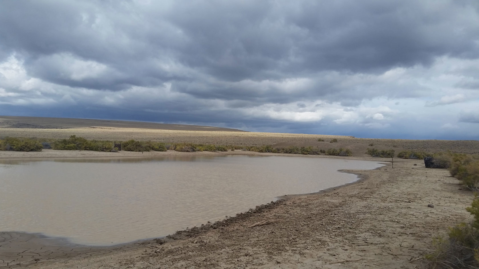
Today? Not so much! When you’re planning to head into Oregon’s high desert, where to find and how to treat your water should always be a central consideration.
Staying hydrated is the key to enjoying your hike, bike, paddle, or birding trip, so plan your water consumption carefully. In spring, many water sources have been replenished by winter snow and rain, so it can be an ideal time to travel in the high desert. Many hikers choose to start their thru-hike of the 750-mile Oregon Desert Trail (ODT) in spring for this reason.
Find It
While spring is traditionally a good time to find water, its availability varies year to year depending on winter snowpack levels and drought cycles. ODT hikers are somewhat at the mercy of these variables, but with careful planning, taking plenty of water carrying capacity, water caching, and proper water treatment, it is possible to have a successful hike most years, and at most times of the year.
The information ONDA has developed for Oregon Desert Trail hikers can be used by any thirsty adventurers who wish to spend time along the route, even for a day hike or week-long backpacking trip.
Treat It
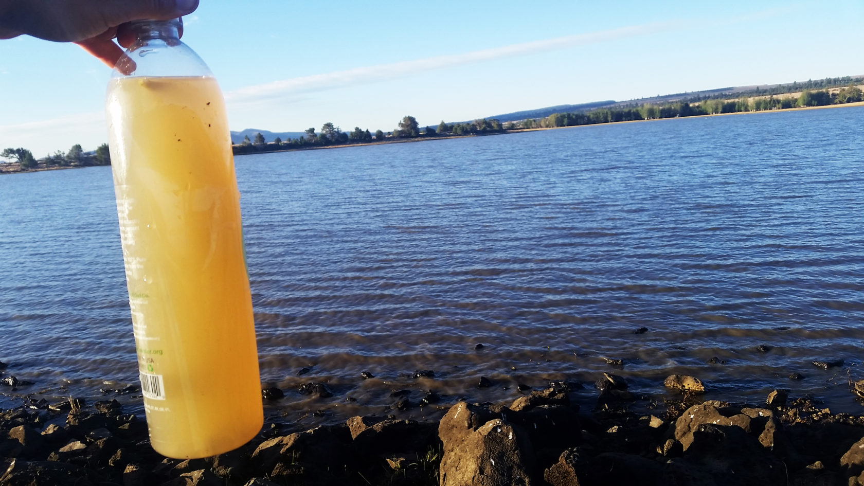
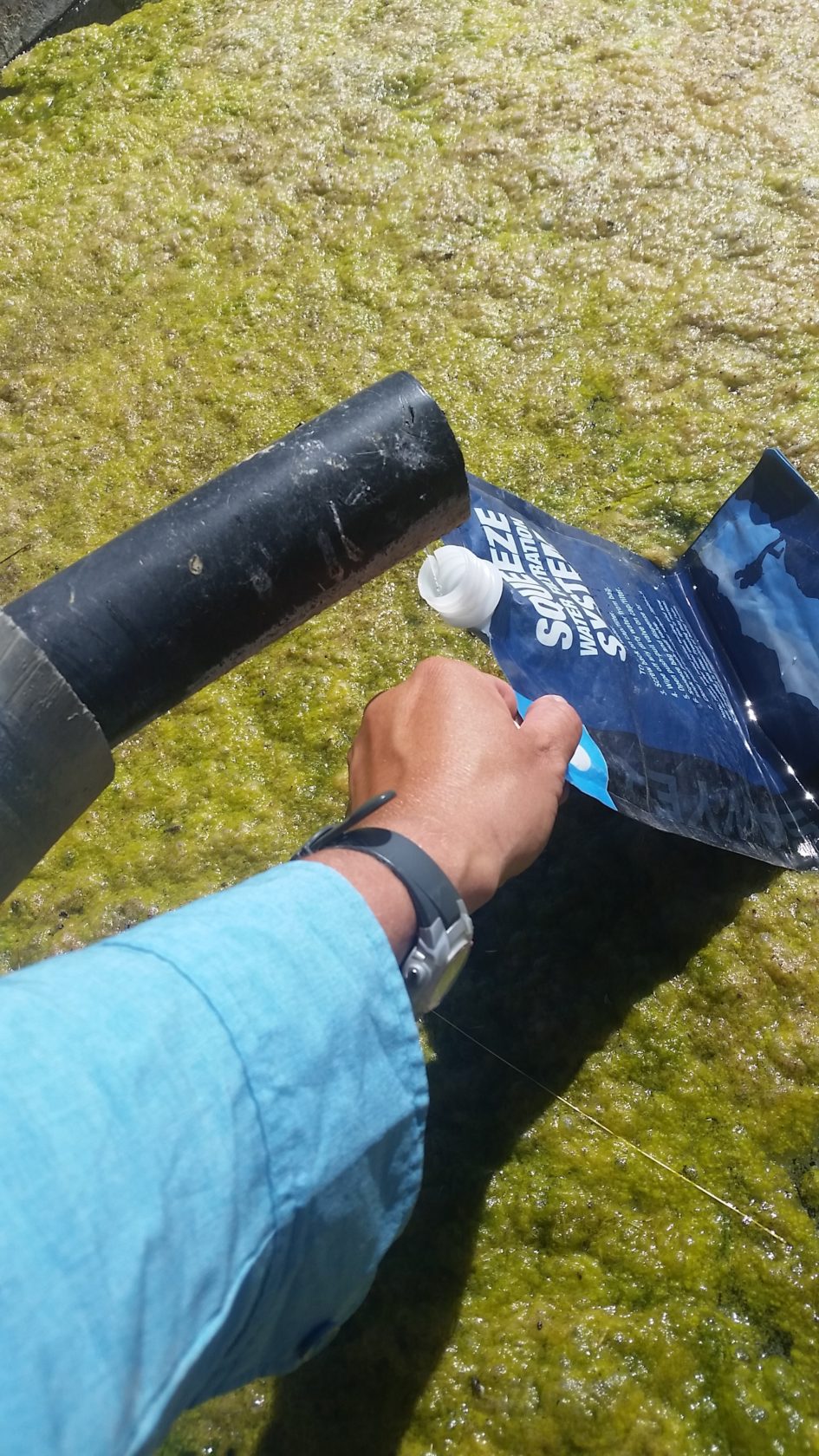
Many different systems for water treatment exist. Regardless of how you plan to purify, filter, or treat your sources, it’s important to do so. For the second year Sawyer Products has come on to support the Oregon Desert Trail, and their water filtration systems have long been the go-to lightweight and dependable filters to carry on backcountry adventures, and ODT hikers certainly put their Sawyer Filters to the test. When faced with a suspect water source, the hollow fiber membrane removes harmful bacteria, protozoa, or cysts like E. coli, Giardia, Vibrio cholera, and Salmonella typhi.
Because many of the water sources along the ODT can appear rather unseemly (as in a dirt stock tank) it’s a good idea to pre-filter your water through a bandana, your t-shirt, or as some seasoned backpackers do, through a coffee filter. Prefiltering will prevent your filter from clogging quickly on your trip. It’s also important to carry a way to clean your filter while in the backcountry in case of clogging.
Consume It
Unfortunately, there is no hard and fast rule to tell you how much water you will need on a hike in the high desert. Many factors may influence your decision on how much to carry and drink, including the difficulty of the terrain, mileage per day, fitness level, cloud cover and daytime temperatures, shade availability, and even your hydration level at the time you start your hike.
Eastern Oregon is arid and you may need more water than you are used to in other environments. Our recommendation is to carry more than you think you need until you have a good handle on your body’s performance in this environment.
To get the most out of the water you consume in desert environments, your body needs salts and sugars to help with absorption. Drink mixes can be a good form of electrolytes, and can also help mask the flavor of the dirtier water sources in the desert. Eating salty snacks can also help replenish the salts that you will inevitably sweat out during exertion.
Report Back
One of the most important things you can do to ensure the viability of the Oregon Desert Trail for future explorers is to help track the water availability. When you head out to the desert on a section or thru-hike of the trail, keep track of your water observations and share your feedback with us by filling in our water chart.
On the Oregon Desert Trail water chart, you’ll find:
- water sources, ranked from reliable to questionable to unreliable and color-coded to match the maps
- historical water data from the past seven seasons
- notes on the quality of the water findings
Our water chart is housed on a Google Sheet so hikers who like to use their smartphones can download the chart and updated it while they are hiking. Then, once they are connected to data or Wifi again, the info will update automatically for the next hikers.
Don’t let lack of water prevent you from exploring our high desert landscapes this spring! Use our tips to stay hydrated yourself, and to help your fellow hikers, too.