Subscribe to Our E-News
Lindsay Jones
voices
Terry Butler, 2018 Volunteer of the Year
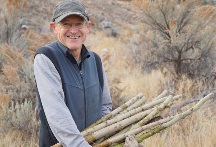
Terry Butler, 2018 Volunteer of the Year
“If I have to pick a favorite place in Oregon’s high desert, it would be Sutton Mountain, but I’m excited about all of the Wilderness Study Areas,” says Terry, adding, “Each is a gem to explore, and I hope they all get protection someday… I love the scale of the physical beauty of the desert.”
voices
Ursula K. Le Guin on ONDA
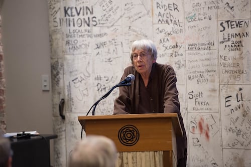
Ursula K. Le Guin on ONDA
“Nothing in conservation work is ever uncomplicated! But I’m proud of ONDA for working on that conversation, being neighborly, trying to include the human landscape in the natural one as truly part of what is to be honored, protected, and saved.”
Ursula K. Le Guin, from the short essay Concerning a Wilderness
voices
John Cunningham, ONDA member and volunteer
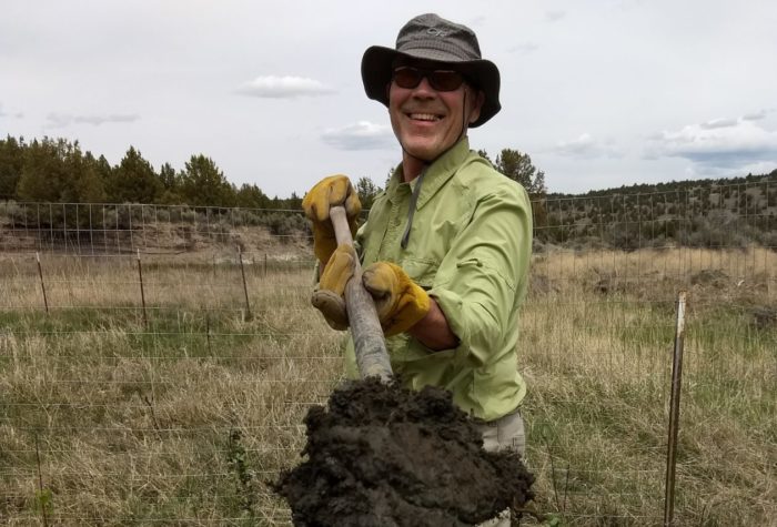
John Cunningham, ONDA member and volunteer
Restoration is hard slow work. It takes hold, or it doesn’t, in fits and starts. The immensity of the need can be discouraging, but we must carry on. I am so thankful ONDA carries on.
Email Signup
Enjoy Oregon’s high desert delivered straight to your inbox.
Sample issues:
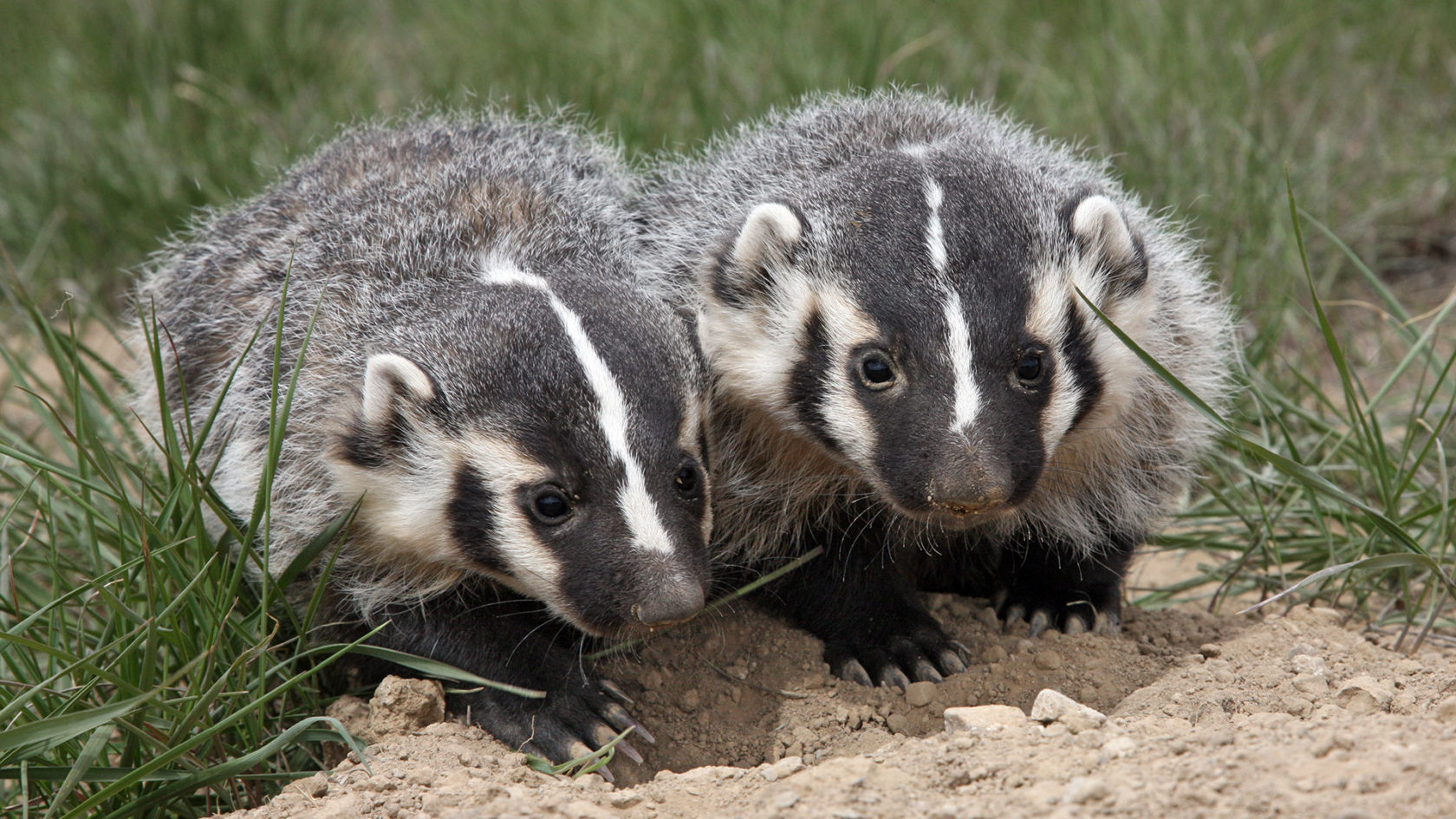
And, we promise we won’t badger you.