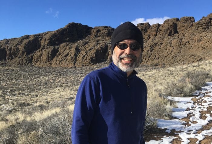
Author: Renee Patrick | Published: June 12, 2018 | Category: Where-To
About the Pueblo Mountains
Part of the Great Basin, the Pueblo Mountains are a remote north-south oriented mountain range in southeastern Oregon and northwestern Nevada, just south of Steens Mountain and Alvord Desert. Although it is not as large as neighboring Steens, this 30-mile long range is also a fault block mountain.
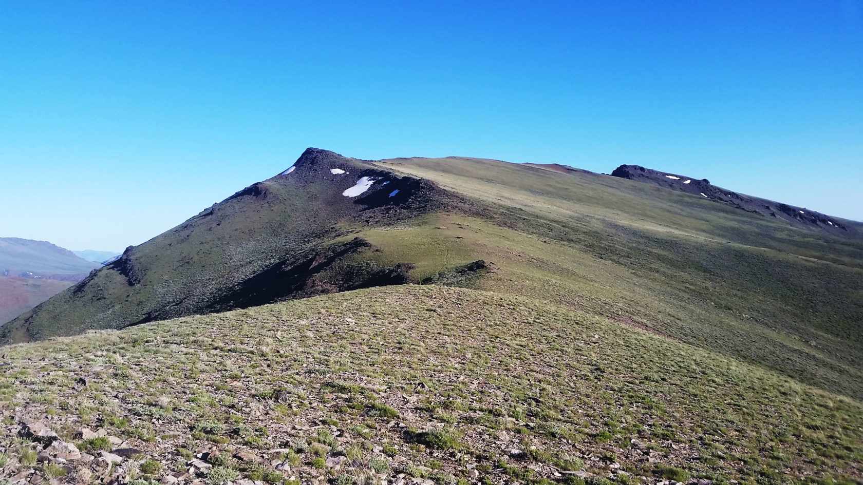
Most of the range is a Wilderness Study Area. Its defining feature is a 45-degree tilted fault block ridgeline averaging around 7,300 feet. The 8,634-foot Pueblo Mountain summit is the second highest peak in southeastern Oregon.
This wilderness study area is home to several sensitive species: bighorn sheep, Greater sage-grouse and Alvord chub. It provides crucial deer and pronghorn winter range and offers outstanding scenery and opportunities for solitude.
What to Expect
A rugged adventure awaits visitors to the Pueblos. No defined hiking trails exist, but a series of large cairns can be found near the crest of the mountains to mark a section of the Desert Trail, an effort by the former Desert Trail Association to create a Mexico to Canada desert route. ONDA’s Oregon Desert Trail ties into the Desert Trail’s route for 27 miles through the range. This challenging hiking requires strong navigational skills, but rewards with vast views, potential glimpses of the resident bighorn sheep and lush meadows.

When to Visit
Spring and fall are the best times to visit the Pueblos, as with many areas in the high desert. With little to no tree cover, summers can be very hot. Winters with enough snow could provide some excellent backcountry ski terrain.
Where to Go
Access into the Pueblo Mountain range is not straightforward, but several primitive roads lead into the area.
On the northern side
The best access on the northern side of the range follows Sesena Creek to the first cairn of the ODT/DTA route. Other access points can be found along the range, including up Arizona Creek and behind the Denio Cemetery. Please be aware there are parcels of private land in the Wilderness Study Area; our Oregon Desert Trail maps show the private land areas.
This section of the Oregon Desert Trail can be found in our guidebook and maps as Section 16 of the 750-mile route. Details about water availability, resupply options in the area, waypoints and mileages are all found in the trail resources.
On the southern side
The southern side of the range is best accessed from the Denio Cemetery. Visitors can park at the entrance and hike into the range. The current Oregon Desert Trail and DTA route follow Denio Canyon upstream, but extremely overgrown willow and other plants have made this route a daunting and frustrating experience. A better alternative is to hike the unnamed canyon just north of Denio Canyon. This option gains about 1,500 feet in elevation, but provides much easier hiking and a glimpse into the past through some old mining shacks that still dot the canyon.

What to Bring
Make sure to pack your compass, maps, sturdy hiking boots, and backpacking gear for an extended trip. Spring can be lush; bring your mosquito repellant and plant and animal identification books.
Expect unpredictable weather conditions – it can snow in May! Bring plenty of clothing layers, as temperature extremes are the norm.
All hikers should be prepared to carry the 10 Essentials, and follow Leave No Trace principles.
Lodging and Other Amenities
The small communities of Fields and Denio border the Pueblos and visitors can find lodging, gas, restaurants, and limited groceries.
- Fields Station
22276 Fields Dr., Fields, OR 97710. 541- 495-2275, www.thefieldsstation.com.
Open year round. Store: Mon-Sat 8 a.m. to 6 p.m. Sun 9 a.m. to 5 p.m. Cafe: 8 ot 9 a.m. to 4 p.m. Basic resupply possible. Beer on tap, grill, fantastic milkshakes, liquor store. Rooms available to rent $50+, gas station. Water pump and porta-potties outside. - Denio
106 Pueblo Dr, Denio, NV 89404, 775-941-0297
The Diamond Inn is open 11 a.m. to 11 p.m. each day, and offers cold drinks, snacks, and a cool spot to rest out of the sun. Denio also has a library and post office. - Denio Junction
55150 Denio Hwy 140, Denio, NV 89404, 775-941-0171, http://deniojunction.com. Gas station, restaurant, bar & hotel. Open 8am-6pm, bar until 9pm. Rooms have 2 full beds, microwave, fridge, free wifi, on-site laundry and in-room coffee. $67+; pets ok for a $10 fee.
We hope you enjoy learning more about the Pueblo Mountains and have a chance to visit them someday. And, when you fall in love with all that this wilderness study area provides, we’re here to help you steward these public lands!