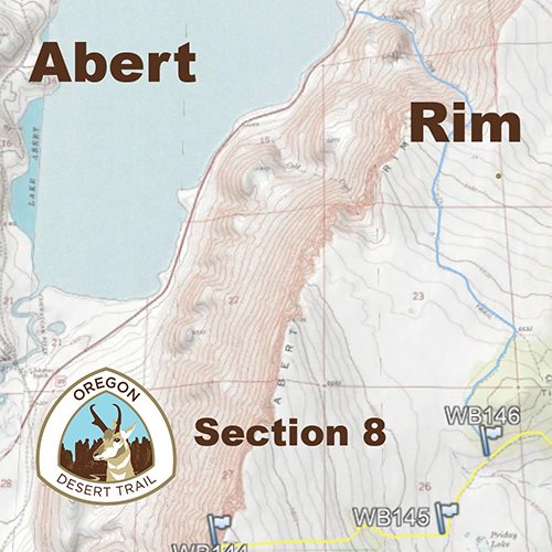
Abert Rim (Section 8) - 1.5 miles one way, 2,000' elevation gain
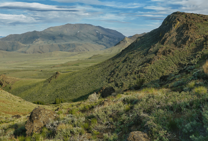
Abert Rim is the largest exposed fault scarp in North America and, from the top, you will have a view of Lake Abert, Oregon’s most saline lake. Keep an eye out for bighorn sheep along this hike. A herd was introduced in 1974 to help perpetuate the species. Other wildlife you might see includes prairie falcons, golden eagles, great-horned owls, red-tailed hawks, deer, antelope, cougar, bobcat, coyotes, badger, lizards, snakes and songbirds.
Abert Rim can be difficult to access, but for the determined and hardy there is a cross country option up the Juniper Creek drainage off of highway 395. Park on the side of Abert Lake near a wildlife viewing area sign. Hike up the drainage, but be aware the last 300' involve some intense bushwhacking through trees and over boulders. This is not for the faint of heart. Once on top you are a short distance from the ODT route and the start of Section 9.
Note: This hike is referenced in page 8 of the Town & Services Guide. Find GPS tracks for the route here.
More Info
