Safety Tips
Following these suggestions will help you travel safely through the high desert of eastern Oregon and enjoy fragile places responsibly.
Read MoreFollowing these suggestions will help you travel safely through the high desert of eastern Oregon and enjoy fragile places responsibly.
Read MoreIn the Hart Mountain National Antelope Refuge, four free primitive campgrounds are managed by the U.S. Fish & Wildlife Service. All are available on a first-come, first-served basis. Drinking water is only available at the Refuge Headquarters and Camp Hart Mountain; pit toilets are available at all campgrounds. Campfires are allowed only in designated fire rings at Hot Springs Campground and Camp Hart Mountain Campground, but bring your own firewood since it is not available to purchase and collecting is not allowed.
Note: Guano Creek campground at Hart Mountain National Antelope Refuge has been permanently closed to improve wildlife habitat.
4 miles south of Hart Mountain National Antelope Refuge headquarters
As the name implies, you’ll find a developed public hot springs for soaking here. There are 29 campsites; the springs holds six adults at a time. Season: year-round, although winter snows periodically close the campground road.
Approximately 15 miles from Plush on the Hart Mountain Road
This campground sits right at the base of Hart Mountain; drinking water and picnic tables are available.
Season: year-round.
Follow Blue Sky rd south from the refuge headquarters for about 14 miles.
This campground has a corral available for horses. Pellets or certified weed-free hay is required.
Season: Dependent upon road access.
If you’d like a more backcountry adventure, backpacking is also an option. Permits are available at refuge headquarters or online. Visit the U.S. Fish & Wildlife Service’s website for current conditions, maps, and other useful information.
Camping is also allowed on the Bureau of Land Management lands in this region, but no developed campgrounds exist. For car camping, you can find plenty of open, remote spots along the dirt roads but you need to be self-sufficient and follow Leave No Trace principles. Backpacking is also an option on BLM land and no permit is required, but finding drinking water can be challenging. See our Oregon Desert Trail page for additional route ideas and information.
Lakeview is the largest town in the area and has a number of small inns and chain hotels. Visit this Lake County page for a list of several lodging options in the region.
Located 1/4 mile from the center of Plush
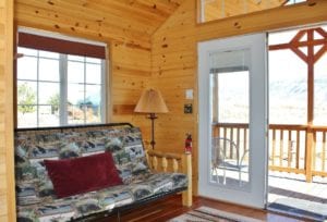
This is the closest lodging near the refuge with a full bath and kitchen. It also has an unobstructed view of the Warner Valley and Hart Mountain.
Visit their website or call (541) 947-3322 for details.
Located in the Warner Mountains 15 miles northeast of Lakeview, 1.5 miles off Highway 140
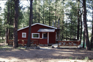
Two cabins available for rent, both with kitchens and one with a bathroom. They offer a discount for current ONDA members.
Call (541) 947-5528 for reservations.
Lakeview is the largest town and the jumping off point for the region. You’ll find numerous restaurants here, as well as a grocery store. Looking for delicious Mexican food? Try Antojitos el Rinconcito de Michoacan, a food truck which moves around town, but is often at located at 1112 S G St in Lakeview.
You’ll only find a few more options for refreshment after you leave Lakeview. The hamlets of Plush and Adel offer combination store / gas / cafe / taverns for basic amenities, burgers and gas as you head out to explore the region. It’s wise to call ahead, as these joints aren’t open 24-7. The Hart Mountain General Store phone number is (541) 947-2491 and you can reach the Adel Store and Tavern at (541) 947-3851.
To see how we define hike difficulty, please see our Hike Difficulty Ratings.
Mark Darnell
Brent Fenty
From the base of Hart Mountain you can access this beautiful canyon complete with wildflowers, wildlife and waterfalls. Various hiking options from an easy walk to difficult climb can be […]
Read MoreGreg Burke Website
Guano Creek is designated as a Wilderness Study Area and Area of Critical Environmental Concern. No trails exist but you can hike across the open country adjacent to Guano Creek. […]
Read MoreJim Davis Website
This hike is partially located in Fish Creek Rim Wilderness Study Area and offers great vistas, as well as neat stands of aspen and mountain mahogany. There is a healthy […]
Read MoreJim Davis Website
There is no developed trail to the top, so the hike begins when you have found a decent spot to park your vehicle. Beatys Butte at 7,885 above sea level […]
Read MoreONDA
Take this hike to enjoy views not just from the summit, but all along the way. Keep your eyes open for wildlife as well. You can start from the Hot […]
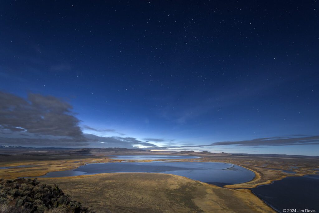
Read MoreThese wetlands at the base of Hart Mountain were designated as an Area of Critical Environmental Concern (ACEC) for their unique wildlife, ecological, cultural and geological values. The lakes provide great habitat for migrating waterfowl and give visitors an opportunity for world-class wildlife viewing. When the lakes are full, a canoe trail weaves between the many pothole lakes.
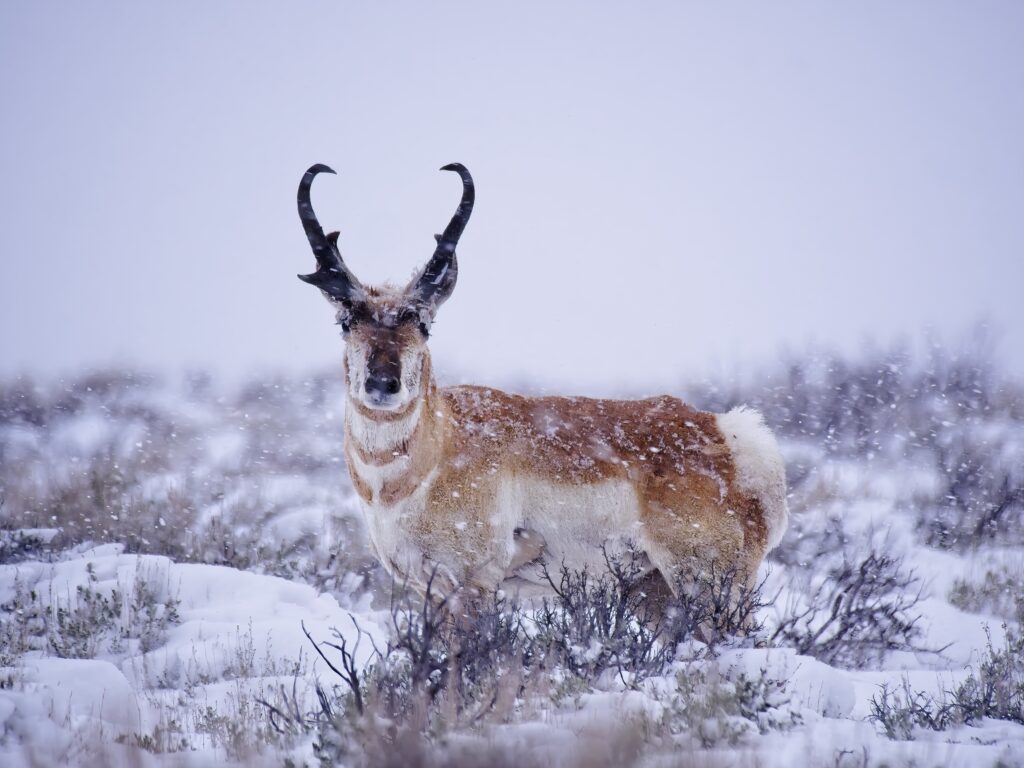
Warner Wetlands BLM BrochureLocated to the east of the Warner Valley and directly south of Hart Mountain National Antelope Refuge, the High Lakes plateau is dotted with intermittent lakes and playas. The area is part of an important regional migration corridor for pronghorn and other wildlife and contains some of the greatest concentrations of rock art in North America, some dating to more than 7,000 years old. This plateau lies within the High Lakes Area of Critical Environmental Concern, a nearly 40,000-acre management unit designated to protect the area's unique cultural, botanical and wildlife values.
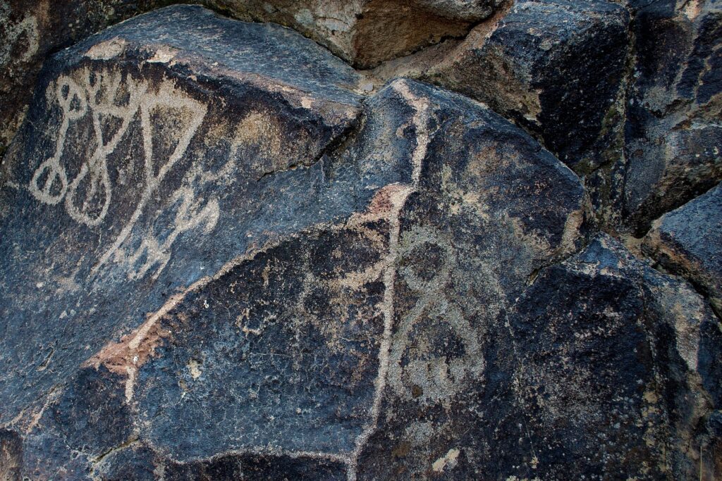
Learn MoreThe best documented and easiest to access petroglyphs in the Greater Hart-Sheldon Region are located at Petroglyph Lake at Hart Mountain National Antelope Refuge. The lake can be reached by a high clearance vehicle when the roads are dry. Scattered along the 1,500 feet of low basalt cliffs surrounding the lake are over 65 panels of rock art. Treat the area with the utmost respect and research petroglyphs online before you go to enhance your knowledge. Check in at the refuge headquarters for more information.
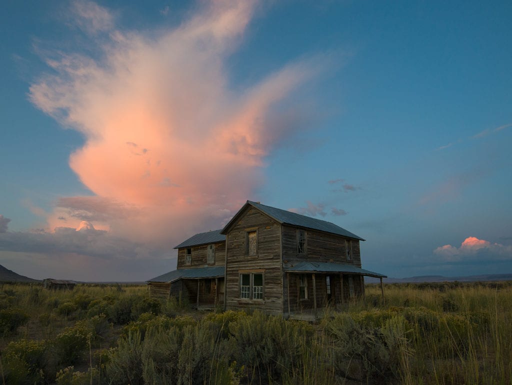
Hiking InfoThe Shirk Ranch, located in the Guano Valley, was operated by David L. Shirk up until the early 1900s. The property was acquired by the federal government in the 1940s and later registered on the National Register of Historic Places. The main ranch house, blacksmith shop, a bunkhouse and water tower remain today in addition to several other structures in varying states of decay.
100 Hikes / Travel Guide: Eastern Oregon by William Sullivan