Author: Mac Lacy | Published: April 15, 2025 | Category: Deep Dive
A deep dive into the history of the Lakeview Resource Management Plan and the future of Oregon’s Greater Hart-Sheldon
Nearly 1.2 million acres of Greater Hart-Sheldon wildlands and wildlife habitat now benefit from dramatically improved conservation management following a historic Bureau of Land Management (BLM) decision updating the agency’s long-term vision and strategy for this landscape. Like the BLM’s related management plan update for Oregon’s Owyhee Canyonlands, this 2025 achievement was more than two decades in the making. This public planning process was driven by ONDA’s tireless advocacy, years of careful, thorough wilderness inventory surveys, and insistence on science-based, legally compliant agency decision making.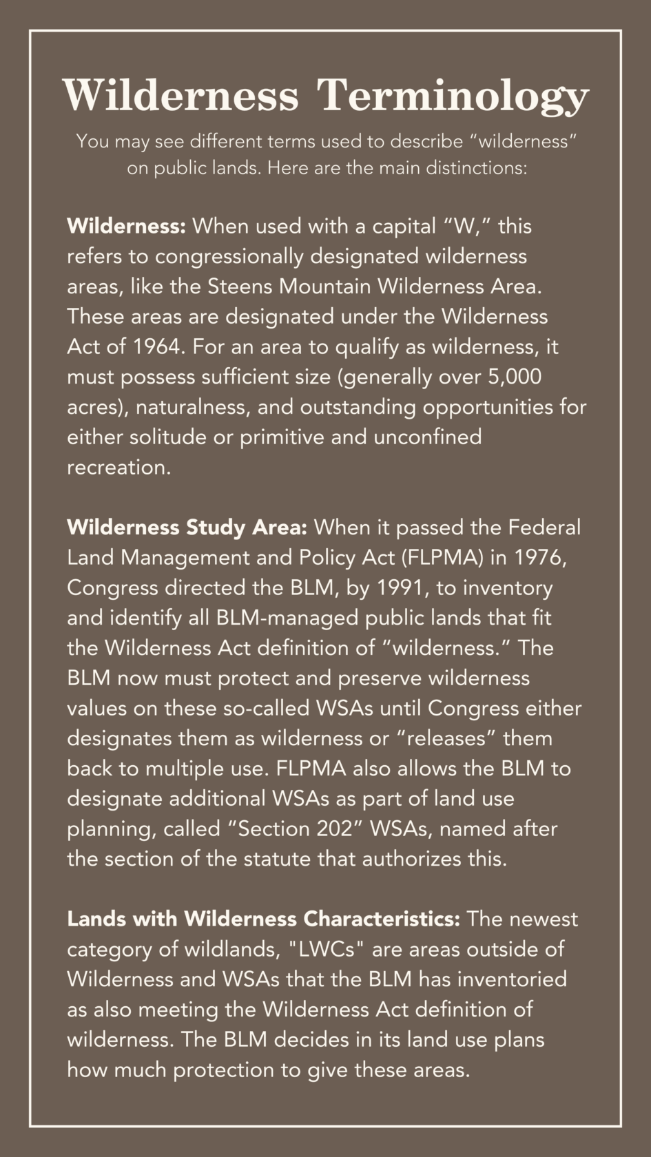
The revised Lakeview Resource Management Plan (LRMP) will guide management of more than three million acres of desert public lands in BLM’s Lakeview Field Office for at least the next 20 years, including how the agency will manage wilderness values on 1.15 million acres of “Lands with Wilderness Characteristics” (LWC). In the final LRMP, the agency chose to prioritize wilderness protection on 373,132 acres of LWCs, “balance” wilderness protection with other values and land uses on 738,665 acres of LWCs, and specially elevate 42,547 acres of LWCs to prized “Section 202” Wilderness Study Areas (WSA).
The latter designation is particularly noteworthy as it marks the first time in more than 30 years that the BLM has designated new WSAs in Oregon’s high desert. And it represents the largest such designation ever in Oregon, and perhaps the country. Exercising statutory authority the BLM has had for decades (under Section 202 of the Federal Land Policy and Management Act), but has rarely used, the agency’s unparalleled designation of Section 202 WSAs establishes an important model for future BLM land use planning and wildlands management in Oregon and beyond.
The New Plan
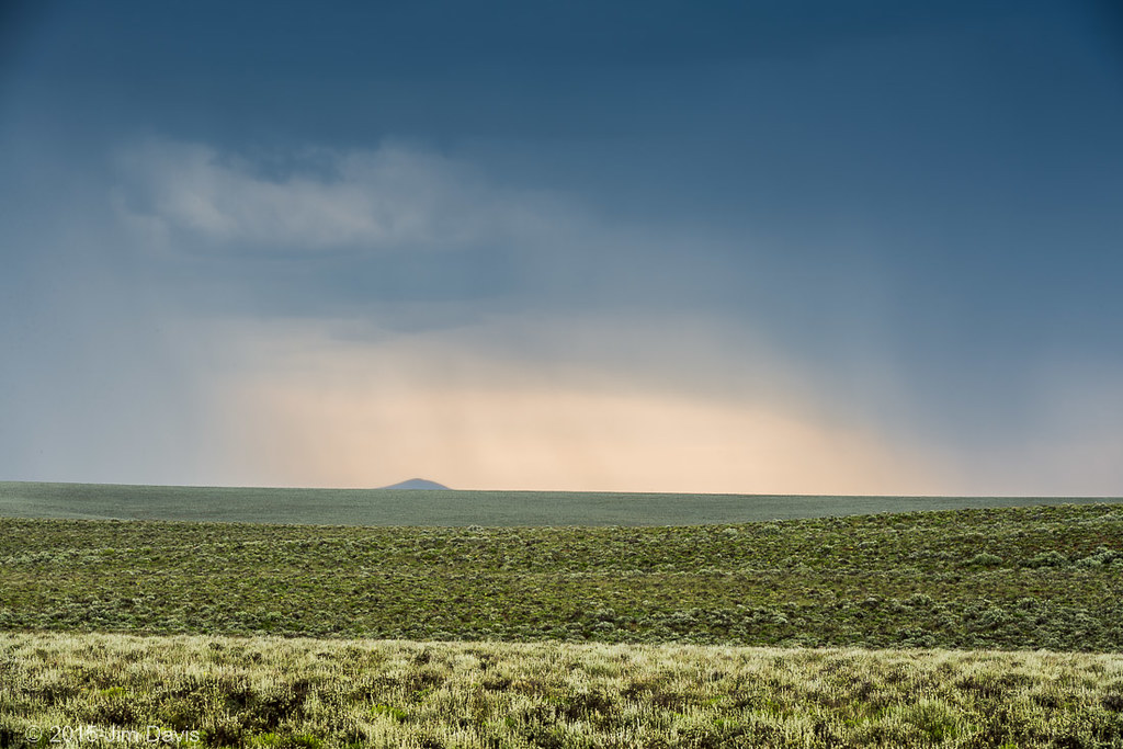
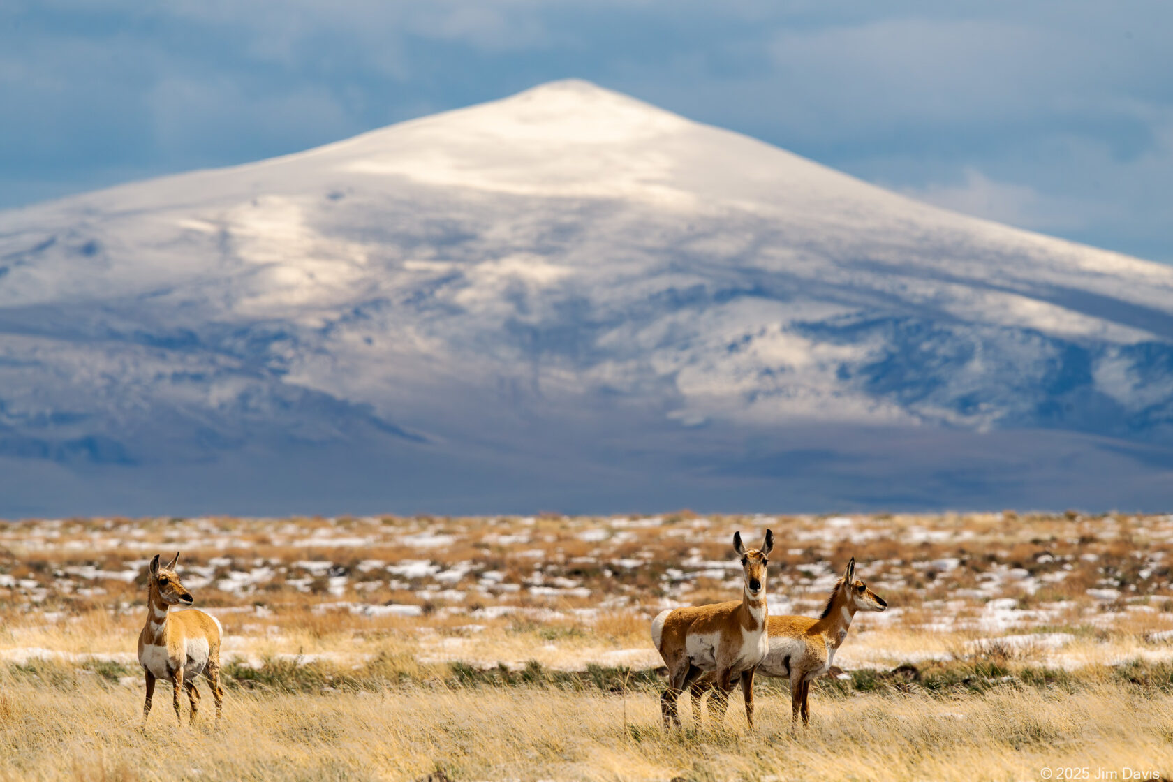
Under the new plan, the BLM will preserve wilderness values above all else in Section 202 WSAs and protected LWCs. This includes restricting development, off-road vehicle travel, and other uses that could degrade these qualities. The newly protected wildlands range from vast sagebrush seas like Diablo Mountain and Beatys Butte, to globally important migratory bird stopovers like Lake Abert and Summer Lake, to iconic basin and range country characterized by Guano Rim and Guano Valley—and include many hidden spots well off the beaten path, like Burma Rim and the Basque Hills. These places provide intact habitat for hundreds of species and are essential for maintaining biodiversity, mitigating climate change effects, and supporting sustainable economies.
The plan also closes 98% of the area’s 3.2 million acres to off-road driving, with only a handful of small off-road cross-country areas scattered here and there. It requires the BLM to consider changes to livestock grazing management any time ecological standards are not being met. And, it calls for the agency to consider wilderness and other resource values in deciding whether to end public lands grazing when grazing permittees voluntarily relinquish their permits back to the agency.
This milestone decision was a long time coming. The planning process began in 1999, wound its way to and from multiple federal courts several times, and finally produced a plan that formally recognizes more than 1.6 million acres of wildlands identified by ONDA staff and volunteers. A quarter of those lands are now prioritized for wilderness protection, and 70% are provided at least some level of new, conservation-focused management. (And those totals are in addition to the protections already afforded to 484,143 acres of existing Wilderness Study Areas identified by the BLM in the 1970s and 1980s.) Like the associated plan amendment in the Owyhee Canyonlands completed last year, this new plan will be a model for how to protect public wildlands across the West, building on historic precedents set in a multi-decade process and driven by ONDA’s strategic litigation and years of advocacy.
The History
The BLM’s land management authority is defined by the Federal Land Policy and Management Act (“FLPMA”), passed by Congress in 1976. FLPMA directs the agency to develop land use plans (also called resource management plans or “RMPs”) to establish which public lands are available for what types of uses—from permitted activities such as livestock grazing and mining, to preservation of natural values such as wildlife habitat and wilderness. To ensure it has adequate information to complete this task, FLPMA requires the BLM to maintain accurate, up-to-date inventory information on the public lands it administers.
Wildlands are among the most important of public lands resources. These fragile and finite areas provide exceptional opportunities for solitude and quiet recreation. In Oregon’s high desert, they comprise some of the most biologically significant sagebrush landscapes remaining in North America. If managed to preserve wilderness values, these places can also sequester carbon and provide crucial habitat resiliency in the face of Earth’s rapidly changing climate.
In 1964, Congress identified the conservation of wildlands as a “national priority” in the Wilderness Act. In that law, wilderness is defined “in contrast with those areas where man and his own works dominate the landscape.” For an area to qualify as wilderness, it must possess sufficient size (generally over 5,000 roadless acres), naturalness, and outstanding opportunities for solitude or primitive and unconfined recreation.
When it passed FLPMA a decade later, Congress directed the BLM, by 1991, to inventory and identify all BLM-managed public lands that fit the Wilderness Act definition of wilderness. Those areas are called Wilderness Study Areas (“WSA”). Until Congress either permanently designates these WSAs as wilderness or “releases” them back to multiple-use management, the BLM must, with limited exceptions, protect and preserve their wilderness values. By 1987, the BLM had identified 85 WSAs in eastern Oregon, spanning about 2.7 million acres of desert public lands.
ONDA formed at that same time. Concerned that the BLM had overlooked important places in Oregon’s high desert, ONDA’s founding members set out to conduct a wilderness review of their own. This ad hoc group of desert advocates hit the ground, hiking and mapping their way through eastern Oregon’s public lands and documenting the wilderness and other values of the high desert. Their “Sage Proposal” recommended five million acres for wilderness preservation—more than double the amount that the BLM had identified.
In 1992, ignoring ONDA’s proposal, President George H.W. Bush submitted the BLM’s wilderness recommendations to Congress. With limited exceptions, Congress has yet to act upon those recommendations—and so most of these areas remain protected as WSAs today. (Thanks to ONDA’s efforts, three important areas have been permanently protected: Congress designated the 170,200-acre Steens Mountain Wilderness Area in 2000, and the 29,301-acre Oregon Badlands Wilderness and 6,382-acre Spring Basin Wilderness in 2009.)
The BLM then embarked on a series of land use plan updates. In 1995, the BLM announced that it would prepare a land use plan—the Southeastern Oregon Resource Management Plan, or “SEORMP”—to govern much of the agency’s Vale District in the southeastern corner of the state. In 1999, the BLM announced it was similarly starting work on the LRMP.
As both planning processes dragged into the 2000s, ONDA noted that the BLM’s wilderness information was outdated and incomplete. ONDA urged the BLM to update its baseline information on roadless areas and wilderness values before designing new management strategies for the region.
Preservation of wilderness values was an issue that resonated with the public; the majority of public commenters in both planning processes urged the BLM to update its inventory information and protect wilderness-quality lands throughout Oregon’s high desert. The agency declined to do so and, through a controversial 2003 court settlement with the state of Utah, the George W. Bush administration decided that the BLM no longer had any legal obligation, or even authority, to inventory, manage, or preserve wilderness values on public lands other than the original WSAs identified back in the 1980s.
This prompted ONDA to launch an independent inventory program, dubbed “Wilderness Research and Rescue.” ONDA staff and volunteers followed long-standing methods and documentation requirements set out in the BLM’s own wilderness inventory handbook to meticulously survey public lands, even as that guidance was rescinded following the Utah settlement. ONDA collected and published information that local BLM offices were barred—by Bush administration policy—from gathering and considering themselves.
ONDA submitted its inventory reports to BLM offices throughout eastern Oregon and requested that the agency consider this information in its planning and management. Time and again, the BLM refused to do so and rejected nearly all of ONDA’s wilderness findings—from Summer Lake to Steens Mountain to the Owyhee Canyonlands.
In 2003, ONDA filed the first of a series of lawsuits aimed at reversing the Bush administration’s “no more wilderness” policy. That case challenged a 2002 SEORMP decision where, implementing the Bush policy and Utah settlement, the BLM did not consider wilderness values beyond the WSAs identified in the 1980s when preparing its land use plan.
In 2005, when the BLM again declined to consider ONDA’s comprehensive wilderness surveys provided during the public process, ONDA filed a second lawsuit, this one challenging the agency’s 2005 LRMP. District court judges sided with the agency in both cases, so ONDA appealed.
In 2008, ONDA won a landmark decision in the Ninth Circuit Court of Appeals. The court rejected the Bush policy, holding that the BLM has the authority under FLPMA to manage public lands to preserve wilderness values and, therefore, the duty, when it prepares a land use plan, to consider (1) whether such lands exist in a planning area and, if so, (2) how to manage those values as part of the agency’s broad “multiple use” mission.
That unprecedented court decision led to a settlement in 2010, where the BLM agreed to update its wilderness inventory information and amend both the SEORMP and the LRMP to reconsider wilderness character, travel management, and livestock grazing issues. The settlement also provided crucial interim protections for more than three million acres of ONDA-identified wildlands across the two planning areas. Those protections remained in place for nearly 15 years as the BLM set to the task of updating its own wilderness inventories and engaging in new public planning processes to amend both RMPs.
Importantly, ONDA’s litigation led to the Department of the Interior to once again recognize the BLM’s wilderness management authority under FLPMA. In 2012, the Obama administration issued new manuals guiding the agency’s wilderness inventory requirements and land management options. For the first time in more than a decade, local BLM offices once again had formal wilderness guidance in place, allowing them to consider wilderness just like any other resource or value in public lands planning and management. In renewing those manuals in 2021, the Trump administration reaffirmed the BLM’s commitment to managing wilderness values on western public lands.
Over the next few years, pursuant to the ONDA settlement, the BLM re-inventoried about 7.8 million acres of public lands in the Owyhee and Greater Hart-Sheldon regions. For the SEORMP covering the Owyhee, the BLM identified 1.3 million acres of LWCs in 82 separate roadless areas. For the LRMP in the Greater Hart-Sheldon, the agency identified 1.7 million acres of LWCs in 111 areas. The BLM also began reviewing ONDA’s wilderness reports for other areas, like Steens Mountain and the John Day River basin, documenting new LWC units throughout eastern Oregon. Finally! The BLM had formally recognized wilderness values on millions of acres of public lands that ONDA had been advocating for since the 1980s.
But would the BLM actually protect the millions of acres of LWCs it had identified in Oregon?
Securing Protections
Under pressure from the first Trump administration, the BLM, in 2019, proposed to protect none of the LWCs it had identified in the ongoing SEORMP amendment process. It also declined to adjust off-road vehicle use or livestock grazing. In other words, the agency proposed to re-adopt the same plan the Ninth Circuit had deemed illegal a decade earlier. The administration even wholly rejected the BLM’s own, multi-stakeholder Southeast Oregon Resource Advisory Council’s common-sense recommendation to balance grazing and other land uses with wilderness preservation in ecologically important LWCs. ONDA laid bare the many flaws of the Trump administration’s tainted 2019 proposal in a powerful, 148-page letter submitted later that year.
In 2021, the Biden administration directed the BLM to further review its final proposal for the SEORMP. After more than two years of additional analysis, the BLM in 2024 finally adopted its SEORMP plan amendment. That new plan protected wilderness values on 417,190 acres of public lands in 33 separate LWCs, closed 99.9% of that planning area’s 4.6 million acres off-road motorized use, and called for the BLM to ensure permitted livestock grazing does not damage wilderness and habitat values. This was a monumental achievement for ONDA.
Later that year, BLM planners in Lakeview took notice and followed with draft and final plans of their own. Again, after nearly 15 years of wilderness surveys, public input, and environmental review, the agency finalized its plan for the 3.2 million-acre Lakeview land use plan area. That plan—
- Protects or conserves wilderness and habitat values on more than 1.2 million acres of BLM-identified wildlands spanning 90 separate units. This includes 42,587 acres of Section 202 WSAs and 373,134 acres of protected LWCs, which are now excluded from major rights-of-way, commercial energy projects, and certain mining activities. Another 738,665 acres of LWCs are still classified as LWC and provide important habitat protections—for example, by requiring BLM to avoid major energy project development in these places and mitigate any future impacts to their wilderness values. Even the 495,332 acres of remaining wildlands identified by the BLM must at least be recognized as part of the environmental baseline for projects and land management going forward, although they are not provided any special protections at this time.
- Limits cross-country motorized use to a smattering of small OHV play areas that comprise only about 70,000 of the planning area’s 3.2 million acres. This means 98% of the LRMP planning area—including all of the Section 202 WSAs and protected LWC areas—is either closed to off-road driving or limited to existing routes. This will help preserve some of the most biologically intact and unfragmented sagebrush habitat in the West.
- Calls for the BLM to ensure that permitted livestock grazing does not damage wilderness and habitat values. This includes: (1) making changes to grazing management any time a grazing allotment is not meeting ecological standards, even if factors other than grazing are to blame; (2) not increasing grazing where it could cause negative impacts to other resources; and (3) considering compatibility with wilderness and other values—including whether grazing should be discontinued—any time a rancher decides to voluntarily relinquish their grazing permit back to the agency.
Continued Advocacy
These two BLM land use plan decisions build on ONDA’s years of precedential litigation and advocacy. Our efforts have not only benefited millions of acres of public land throughout southeastern Oregon, but also led to the BLM, over the course of that past 15 years, identifying another 25 million acres of wildlands on public lands across the West. (And that doesn’t even include more than 60 million additional acres of LWC identified by BLM in Alaska.)
In Oregon, the 3.8 million acres of LWCs identified in the Vale and Lakeview districts more than doubles the acres of recognized wilderness-value public lands in Oregon’s high desert—adding to the 2.7 million acres of WSAs identified by the BLM in the 1980s and 200,000+ acres of congressionally designated Wilderness on Steens Mountain, Badlands, and Spring Basin.
The binding legal precedent established through our historic litigation remains and, to this day, is the leading authority outlining the BLM’s obligations when it comes to identifying and managing wilderness values on public lands in the West.
Meanwhile, ONDA’s leading-edge wilderness inventory program, honed through decades of ground-based surveys and state-of-the-art GIS analyses, and fueled by the enthusiasm and tireless efforts of staff and volunteers alike, not only laid the foundation for our success in court, but also set the stage for conservation organizations around the West to form their own programs to inventory and advocate for wilderness preservation in other states.
With the BLM’s Vale and Lakeview land use plan updates now completed, you can bet that ONDA will do everything we can to ensure a similar result on the Burns District, which sits between them and contains millions of acres of its own remarkable wildlands on and around the gem of Oregon’s high desert, Steens Mountain. This remarkable landscape ranges from Steens and the Pueblo Mountains, near the Nevada border, to the vast expanses of sagebrush and high desert that unfold across nearly two million acres of public land north of Steens Mountain, from the vast Harney Basin to the southern Blue Mountains.
In 2022, ONDA petitioned the Secretary of the Interior to direct the BLM to update its Burns District land use plans and make them consistent with the agency’s groundbreaking efforts in neighboring districts. We observed that, like the now-obsolete “no more wilderness” decisions on the other districts, the BLM in the Steens Mountain region had rejected all but a handful of the nearly 665,000 acres of wildlands ONDA had identified in several wilderness reports prepared in the 2000s. ONDA’s administrative petition remains pending. It’s unlikely the current Secretary of the Interior will respond to our petition. Even so, ONDA looks forward to continuing to update our field surveys for this fascinating landscape and working with the BLM through a number of travel and land use planning processes that hold the potential to establish important new protections.
Stay tuned!