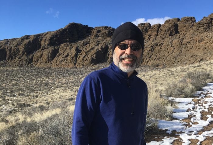


Your 2019 Resolutions
Do you set resolutions for yourself to celebrate the new year? In 2019, let ONDA help you bring a bit of Oregon’s high desert into your plans for the year. […]
Read More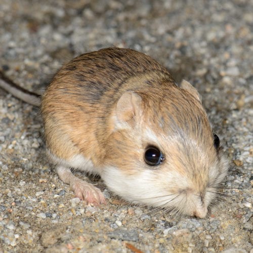
Three Tiny Creatures of Oregon’s High Desert
Racing pronghorn. Soaring golden eagles. Charging salmon. Oregon’s high desert pulses with the movement of these great creatures, but it’s good to remember that the desert’s iconic animals, birds and […]
Read More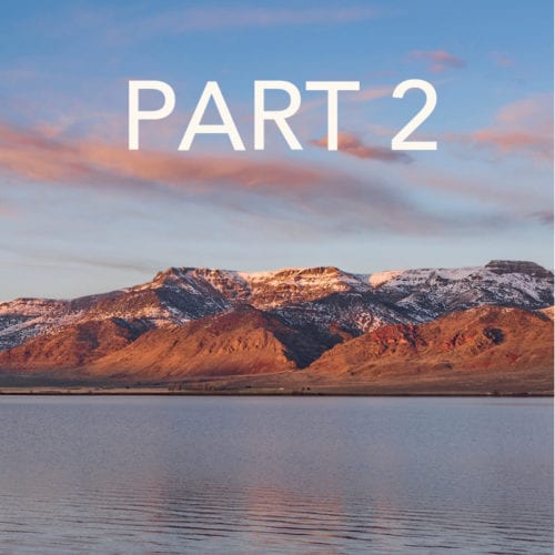
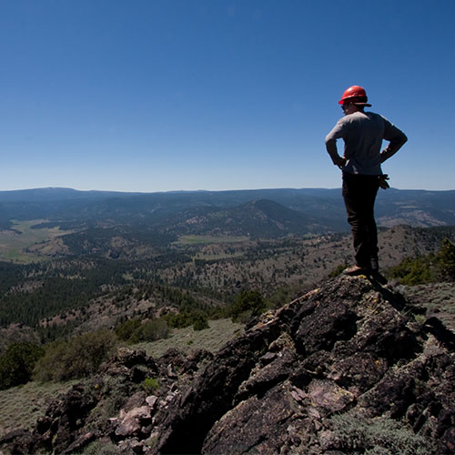
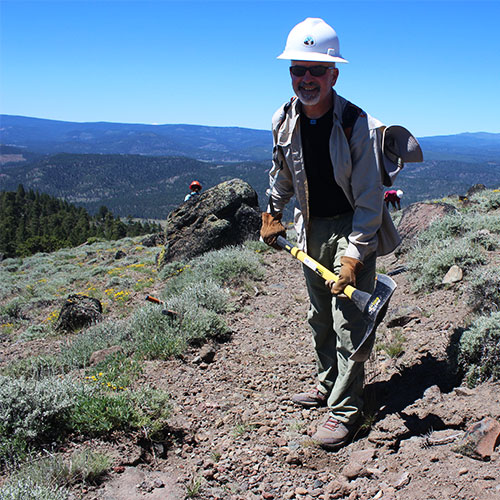
Journey
If you read part one of Mark’s journey, you will recall his original plan to spend two months in the spring visiting lesser-known wilderness study areas (WSAs) and to bring back pictures […]
Read More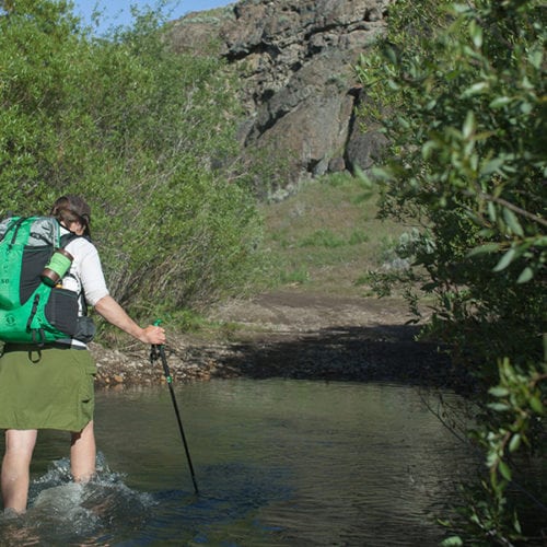
10 Summer Adventures in Eastern Oregon
Escape the heat, or at least take your mind off the dog days of summer, with these 10 adventures found around Oregon’s high desert and along the Oregon Desert Trail […]
Read More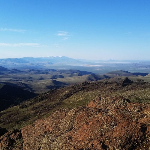
Getting Started in the Pueblos
Author: Renee Patrick | Published: June 12, 2018 | Category: Where-To About the Pueblo Mountains Part of the Great Basin, the Pueblo Mountains are a remote north-south oriented mountain range […]
Read More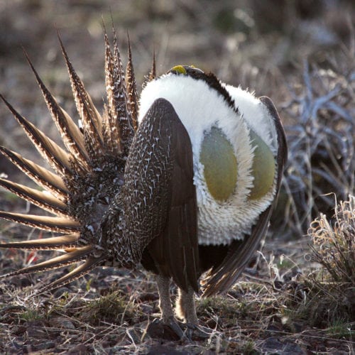
Learn to Strut
ONDA to teach sage-grouse mating dance to all members April 1, 2018 (BEND, Ore.)—What started as a rousing way to open up staff meetings soon spread to board meetings and stewardship trips, […]
Read More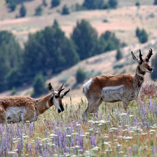
Making a Plan for the Greater Hart-Sheldon
Renowned for its vast wild lands and world-class wildlife, the Greater Hart-Sheldon features 3.2 million acres of Bureau of Land Management public lands that span 150 miles, from Fort Rock […]
Read More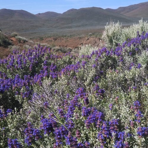
Ten Springtime Adventures
Have the longer days and warmer temps led you to experience bouts of day-dreaming and window-gazing? Put that wanderlust to work! Plan on your trip to the desert, and get […]
Read More
Aaron Tani, Sage Society Member
“It feels good to support ONDA on a monthly basis, because I know they never stop supporting our public lands. ONDA works to help make our lands a better place […]
Read More