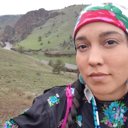
ONDA: Before we talk about the lawsuit, I’d love to hear what the highlight of your ONDA internship was.
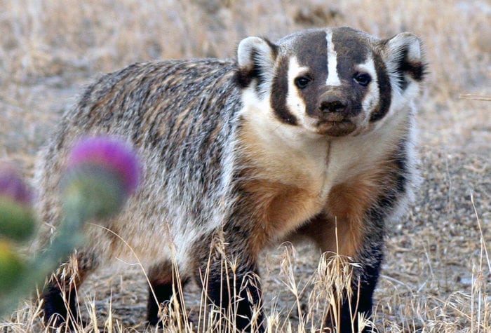
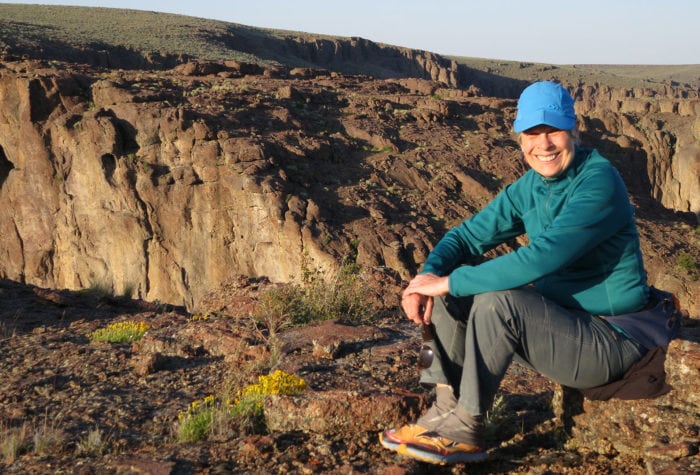
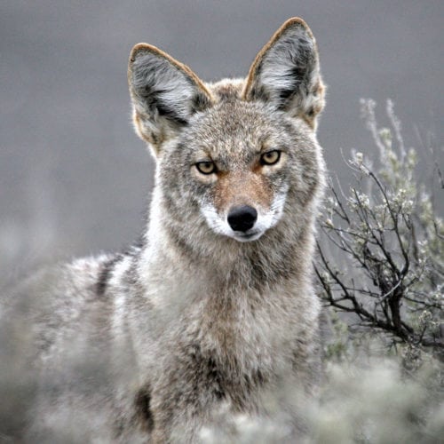
Tia: There are a couple highlights that come to mind. I would say, first off, the chance to explore more of Oregon that I haven’t seen, go out to Hart Mountain, go out to the John Day Malheur National Forest area, visit the Steens again and do monitoring, and learn the monitoring techniques that are available for stewardship was a major highlight for me, and one of the outcomes that I was looking forward to when I decided to do this internship. Another highlight for me was definitely working alongside and learning from the tribal stewards crew. They were genuinely so amazing and really willing to teach us and worked really hard out there on the lands alongside us and it was great working with them.
Now, to get into your climate change activism, can you give me your summary of Juliana et al v. the United States. What, at its heart, is this case about?
The 21 plaintiffs and our harms that climate change has already caused us and will continue to cause us as we are part of this youngest generation that will for sure see the worst effects of climate change.
It’s also about the government’s knowledge on climate change, and how they have known for over 50 years about the effects and the science about climate change; how it would harm the atmosphere, how it would harm our futures, and it’s also about the constitution and our rights, and the court’s role in providing our rights and upholding their role as this third branch of government to provide a check on Congress when they’re not doing their job.
One thing I’m curious about is: how do you see your ONDA internship tying back and tying together with this climate change lawsuit?
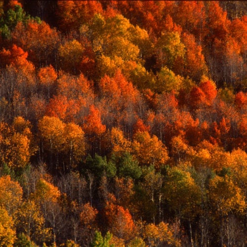
I think preserving large tracks of public lands is a great way to mitigate the impacts of climate change and I see the restoration projects that ONDA does on public lands as a great way to create resiliency in the face of warming temperatures. I also think the places that we love exploring … we don’t know how those will be affected completely by climate change … and I think just working hard to protect them just as they are now will, of course, help them stay the way they are.
When this case was filed, it was 2015, so it was against the Obama administration, and then it transferred to the Trump administration. What differences have you seen in the process between these two administrations?
While the Obama administration definitely had a different take on climate change, and wasn’t calling it a hoax or anything, even their best plan, the Clean Power Plan was going to flatline emissions at 500 parts per million, which is way above what scientists say is the safe level below 300 parts per million. So there’s definitely some similarities in that neither of the administrations were taking enough actions, especially against what scientists say would stop the worst effects of climate change. I think with the Trump administration, we have even more evidence against the government’s actions to cause climate change as he opens up more leasing and permits to this fossil fuel infrastructure.
So this has been a very long process. Where do things stand in your case right now? What stage are you at and what could happen next?
Technically, right now, we’re waiting for a decision from the Ninth Circuit Court of Appeals based in San Francisco. We had a hearing on June 4th with them, discussing why or why not we should be able to go to trial. Previously, we’ve had two trial dates set and then pushed back again, and our case has been seen by the Supreme Court before, and it will likely, after we get a decision back, go back up there again.
I am curious if you have been in touch with Greta Thunberg, the young Swedish activist who launched a school strike and other efforts to get her government to pay attention to climate change. And, why do you think it’s important for young people like you and Greta to be leaders in the fight against climate change?
I think children are innocent and we’re able to call out stuff a little bit better than adults are. They see all the processes going on, and they take a second more to think about it, when young activists tell it like it is a little bit better.
And, of course, we are going to be inheriting the Earth from this current generation that holds the power. I haven’t personally met Greta, but some of my co-plaintiffs have, and it’s extremely inspiring to see all the other movement going on right now.
What is it to going to look like when you win?
We’re asking the courts to order the government to come up with a science-based climate recovery plan that would reduce our carbon emissions to 350 parts per million, actually below that, by 2100. While that seems like really far off goal, our youngest plaintiff, Levi, was eight when the suit was filed, so he’s probably 12 now, and he will absolutely be living through hopefully the end of the century, and will be seeing these impacts first hand, so it’s definitely on the time scale for our lives. It also means front line communities will have the legal standing to bring lawsuits against anyone not following what the court has given regarding a climate recovery plan.