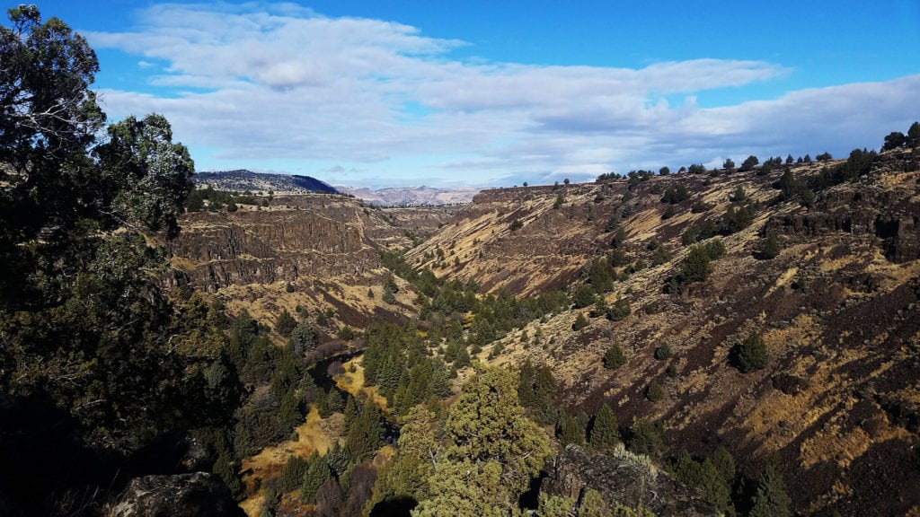
10 Summer Adventures in Eastern Oregon
Escape the heat, or at least take your mind off the dog days of summer, with these 10 adventures found around Oregon’s high desert and along the Oregon Desert Trail […]
Read More
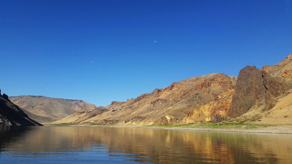
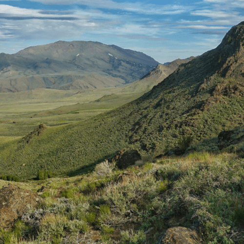
Ten Springtime Adventures
Have the longer days and warmer temps led you to experience bouts of day-dreaming and window-gazing? Put that wanderlust to work! Plan on your trip to the desert, and get […]
Read More
Aaron Tani, Sage Society Member
“It feels good to support ONDA on a monthly basis, because I know they never stop supporting our public lands. ONDA works to help make our lands a better place […]
Read More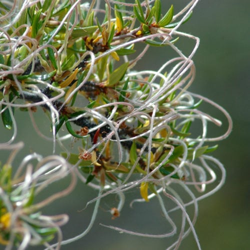
Species Spotlight: Mountain Mahogany
By LeeAnn Kriegh Trees live their lives on a different timescale than ours, so it helps to slow ourselves down to fully appreciate them. Certainly, a shrubby little tree like […]
Read More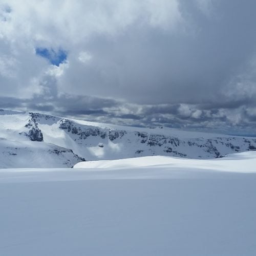
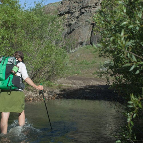
Ten Winter Adventures in the High Desert
Five for No Snow, Five for Snow. Winter in Oregon’s high desert can look and be quite different from one year to the next. A few years ago, copious snowfall […]
Read More
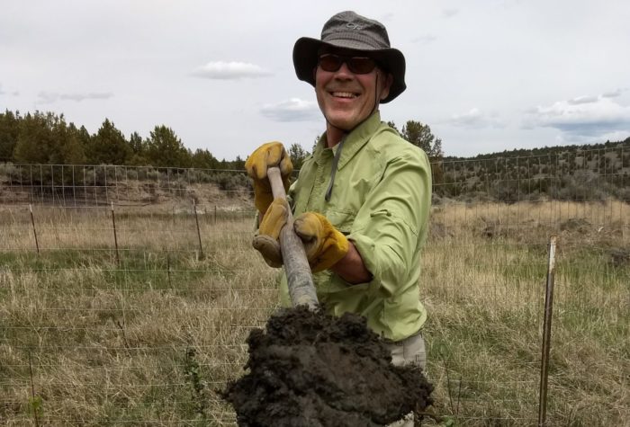
Craig Terry, ONDA member and stewardship volunteer
“The people I have had the privilege to share time with each season keep me volunteering again and again. Who else but those ONDA staff leaders would make fresh coffee […]
Read More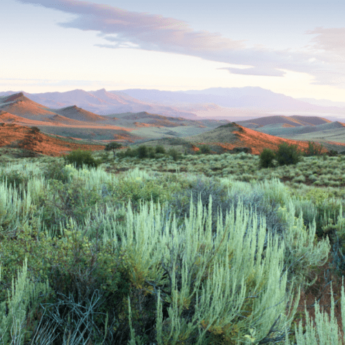
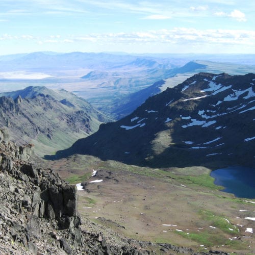
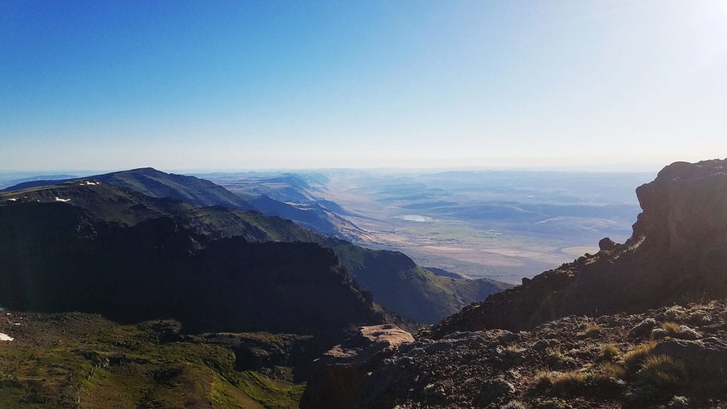
Wildhorse Lake
Wildhorse Lake fills the bottom of a deep cirque with high surrounding walls on three sides that give way on one side to an open view of the horizon beyond. […]
Read More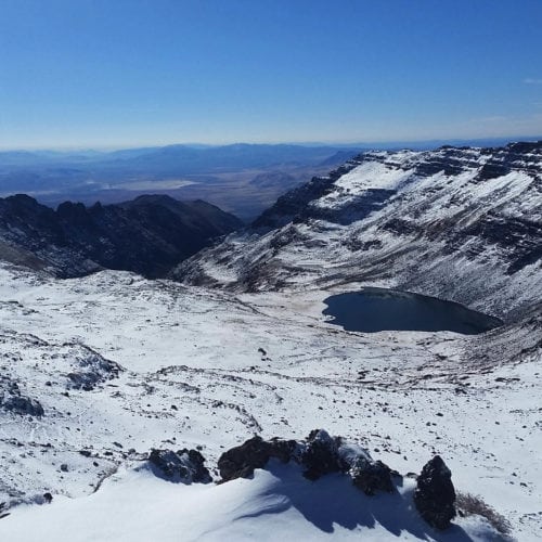
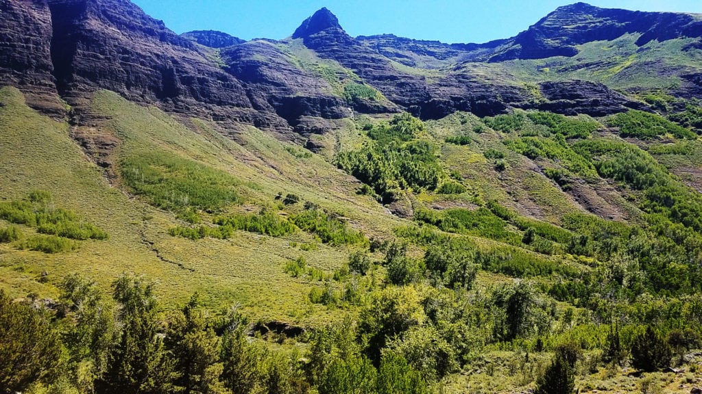
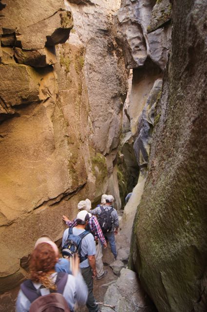
Steens Mountain Summit
On your way to the top of Steens Mountain Summit trailhead, you’ll pass by two amazing viewpoints that involve short walks—Kiger Gorge and the East Rim—and we recommend stopping at […]
Read More