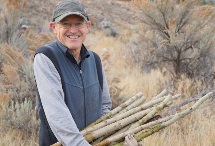

2022 Conservationist of the Year
Meet Mary McCord, ONDA’s 2022 Conservationist of the Year If you attended an ONDA event this year, chances are that Mary McCord was working behind the scenes to make sure […]
Read More
A Look Back at the 2021 High Desert Speaker Series
Author: Caelin Weiss | Published: April 28, 2021 | Category: Look Back Each spring, ONDA presents the High Desert Speaker Series to share knowledge about intriguing aspects of high desert […]
Read More
Meet Three Healthcare Professionals Dedicated to the Desert
Author: Caelin Weiss | Published: April 14, 2021 | Category: Profile As we are all more acutely aware than ever, healthcare professionals and other frontline and essential workers play an […]
Read More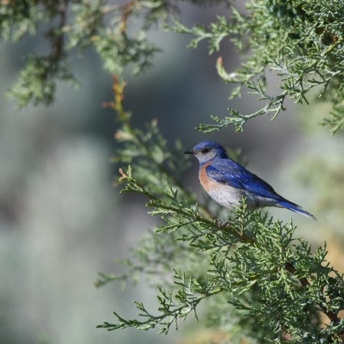
Where-To: Seeking Spring in Central Oregon
Spring is fast approaching in the high desert. As the daylight hours grow longer, signs of the shifting season can be seen popping up across the region. The desert will […]
Read More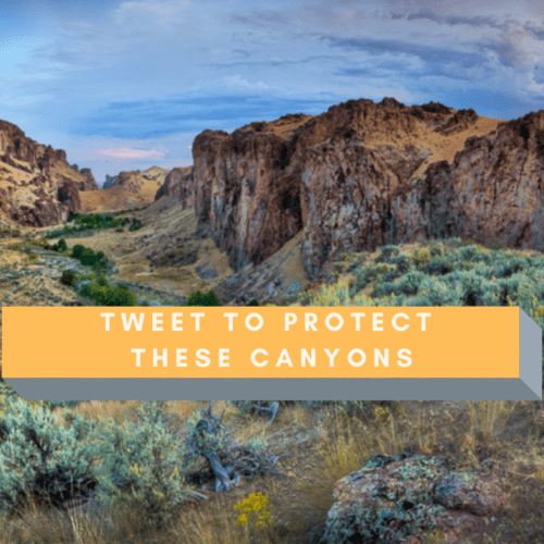
Add Your Voice
Author: Corie Harlan | Published: November 20, 2020 | Updated: May 13, 2021 | Category: How-To The Malheur Community Empowerment for the Owyhee Act provides Malheur County with vital economic development […]
Read More
Meet Six Steady ONDA Members
ONDA turned 33 this year, and more than a few of our members have been with us ever since our founding in the mid-eighties. We love the perspective that those […]
Read More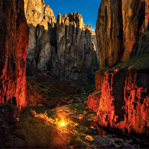
A Major Milestone for the Owyhee Canyonlands
An impressive and critically important swath of sagebrush steppe habitat in eastern Oregon poised to gain protection as Wilderness On November 7, 2019, U.S. Sen. Ron Wyden introduced the Malheur […]
Read More
High Desert Speaker Series Bigger and Better in 2020
Each year, ONDA’s High Desert Speaker Series highlights the wildlife, geology, culture, history, recreation and other unique and worthy-of-protection elements of Oregon’s high desert. In 2019, we were amazed by […]
Read More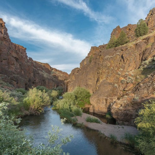
Get to Know the Owyhee River
Author: Kelly Sprague | Published: September 10, 2019 | Category: Where-To One of Oregon’s 58 officially designated Wild and Scenic Rivers. Located in southeastern Oregon and reaching across the corner […]
Read More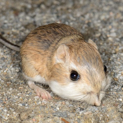
Three Tiny Creatures of Oregon’s High Desert
Racing pronghorn. Soaring golden eagles. Charging salmon. Oregon’s high desert pulses with the movement of these great creatures, but it’s good to remember that the desert’s iconic animals, birds and […]
Read More